
1954 Map of Day
USGS Topo · Published 1955About this map
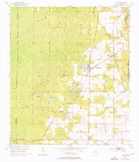
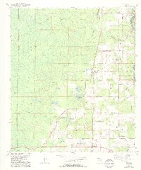
Day serves as the central hub of this 1954 topographic survey, situated at a key juncture of the Southern railroad line in Lafayette County. The landscape is defined by the transition between the extensive wetlands of Pedro Bay and Stanton Bay to the west and the more settled agricultural and timber lands to the east. Water dominates the geography, with numerous named bodies such as Brewer Lake, Fort Atkinson Lake, and Nichols Lake dotting the interior, while the Suwannee River carves the eastern boundary of the quadrangle. Local life is anchored by several small rural communities and family landmarks, including Mayo Junction, Buckville, and Townsend. Genealogists will find value in the precise locations of the Roger Cem and Dees Cem, alongside country churches like Magnolia Ch and Riverside Ch, reflecting the dispersed settlement pattern characteristic of North Florida's pine and cypress country during the mid-century.
Find a feature on this map
27 named features on this map. Tap any name to fly to it.
Don’t see what you’re looking for? This feature index may not catch every label — zoom into the map to look around manually.
Map Details
Editions of this 1954 Day Map
3 editions found
Other maps of this area

1954 · Fenholloway
USGS Topo · 1:24,000

1954 · Day SE
USGS Topo · 1:24,000

1954 · Dowling Park
USGS Topo · 1:24,000

1954 · Day NW
USGS Topo · 1:24,000

1954 · Valdosta
USGS Topo · 1:250,000

1955 · Mayo
USGS Topo · 1:24,000

1958 · Valdosta
USGS Topo · 1:250,000

1958 · Madison SW
USGS Topo · 1:24,000

1958 · Madison SE
USGS Topo · 1:24,000

1959 · Valdosta
USGS Topo · 1:250,000