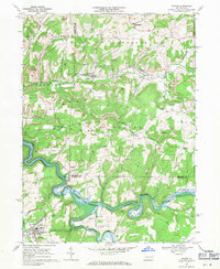
1968 Map of Dayton
USGS Topo · Published 1971About this map
The industrial and rural character of the Armstrong, Jefferson, and Indiana county borders is defined by the winding Mahoning Creek Reservoir and the extensive coal extraction operations that dot the hillsides. During the late 1960s, numerous Strip Mines and several Tipples highlight the region's reliance on resource extraction. The borough of Dayton serves as a local hub in the southwest, featuring the Dayton High Sch and a municipal water works, while smaller settlements like Timblin, Ringgold, and North Point anchor the surrounding townships.
Find a feature on this map
52 named features on this map. Tap any name to fly to it.
Don’t see what you’re looking for? This feature index may not catch every label — zoom into the map to look around manually.
Map Details
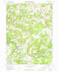
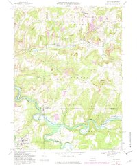
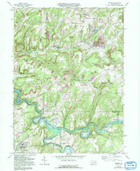
Editions of this 1968 Dayton Map
4 editions found
Other maps of this area

1901 · Rural Valley
USGS Topo · 1:62,500

1903 · Rural Valley
USGS Topo · 1:62,500

1906 · Clarion
USGS Topo · 1:62,500

1907 · Clarion
USGS Topo · 1:62,500

1909 · Smicksburg
USGS Topo · 1:62,500

1924 · Brookville
USGS Topo · 1:62,500

1926 · Brookville
USGS Topo · 1:62,500

1938 · Smicksburg
USGS Topo · 1:62,500

1939 · Smicksburg
USGS Topo · 1:62,500

1944 · Brookville
USGS Topo · 1:62,500