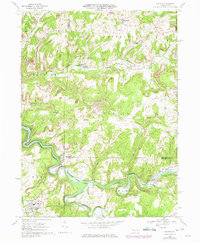
1968 Map of Dayton
USGS Topo · Published 1975About this map
The borough of Dayton anchors the southwestern corner of this survey, a landscape defined by the intersection of the Baltimore and Ohio and the Pittsburgh and Shawmut railroads. These rail lines traverse a terrain heavily shaped by extraction and industry, indicated by a Strip Mine near Ringgold and a Gravel Pit near the Fairgrounds. The topography is dissected by steep valleys containing Mahoning Creek and its reservoir, Mahoning Lake, which is noted at a Normal Pool Elev 1076.
Find a feature on this map
47 named features on this map. Tap any name to fly to it.
Don’t see what you’re looking for? This feature index may not catch every label — zoom into the map to look around manually.
Map Details
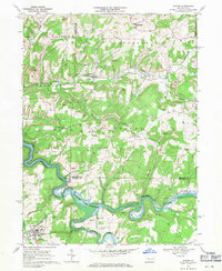
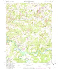
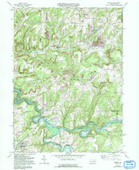
Editions of this 1968 Dayton Map
4 editions found
Other maps of this area

1901 · Rural Valley
USGS Topo · 1:62,500

1903 · Rural Valley
USGS Topo · 1:62,500

1906 · Clarion
USGS Topo · 1:62,500

1907 · Clarion
USGS Topo · 1:62,500

1909 · Smicksburg
USGS Topo · 1:62,500

1924 · Brookville
USGS Topo · 1:62,500

1926 · Brookville
USGS Topo · 1:62,500

1938 · Smicksburg
USGS Topo · 1:62,500

1939 · Smicksburg
USGS Topo · 1:62,500

1944 · Brookville
USGS Topo · 1:62,500