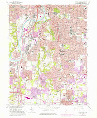
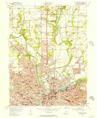
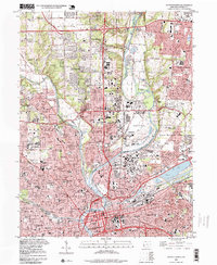
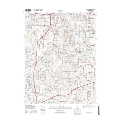
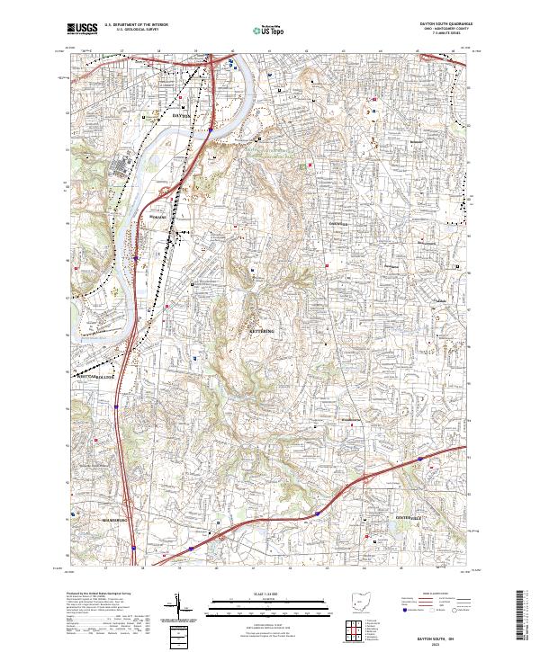
1966 Map of Dayton South
USGS Topo · Published 1976About this map
Dayton's southern suburban expansion is captured in this mid-century survey, showing the rapid growth of Oakwood, Moraine, and Kettering. The industrial and transportation corridor along the Great Miami River remains a dominant feature, anchored by the Penn Central rail lines and the modernization of Interstate 75. Military and institutional history is prominent, with the sprawling Gentile A F Depot and the grounds of the Dayton State Hospital occupying significant acreage.
Find a feature on this map
58 named features on this map. Tap any name to fly to it.
Don’t see what you’re looking for? This feature index may not catch every label — zoom into the map to look around manually.
Map Details
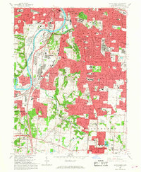
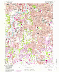
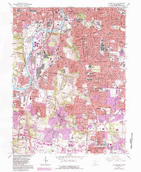
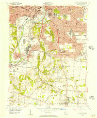
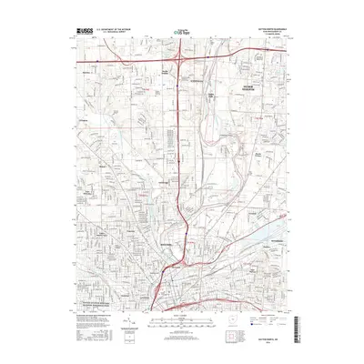
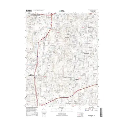
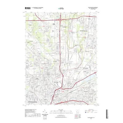
Editions of this 1966 Dayton South Map
5 editions found
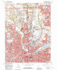
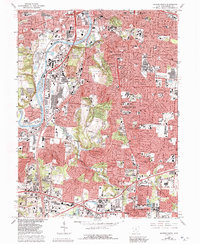
Historical Maps of Dayton Through Time
15 maps found
1955 Dayton North
Montgomery County, OH
1955 Dayton South
Montgomery County, OH
1965 Dayton North
Montgomery County, OH
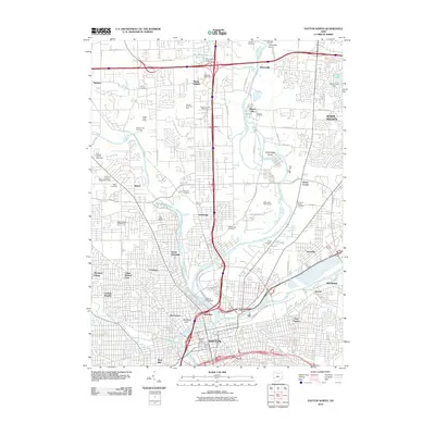
1966 Dayton South
Montgomery County, OH
1996 Dayton North
Montgomery County, OH
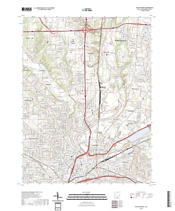
2010 Dayton North
Montgomery County, OH
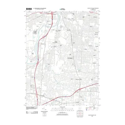
2010 Dayton South
Montgomery County, OH
2013 Dayton North
Montgomery County, OH
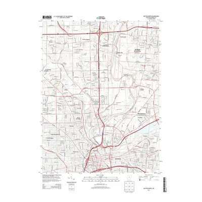
2013 Dayton South
Montgomery County, OH
2016 Dayton North
Montgomery County, OH
2016 Dayton South
Montgomery County, OH
2019 Dayton North
Montgomery County, OH
2019 Dayton South
Montgomery County, OH
2023 Dayton North
Montgomery County, OH
2023 Dayton South
Montgomery County, OH