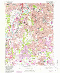
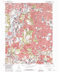
1966 Map of Dayton South
USGS Topo · Published 1982About this map
The Great Miami River corridor serves as the industrial and geographical spine of this 1966 survey, anchoring the southward expansion of Dayton into Oakwood, Kettering, and Moraine. The landscape is a dense assembly of mid-century civic infrastructure, featuring a notable concentration of educational and medical institutions such as the University of Dayton, Miami Valley Hosp, and St Elizabeth Medical Center. Cultural and historical landmarks are prominently marked, including the Patterson Monument, Carillon Park, and the ancient Shawnee Indian Mound near the riverbank.
Find a feature on this map
85 named features on this map. Tap any name to fly to it.
Don’t see what you’re looking for? This feature index may not catch every label — zoom into the map to look around manually.
Map Details
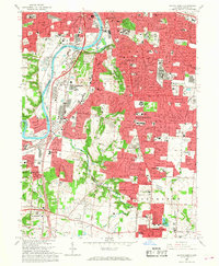
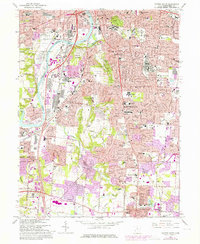
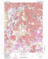
Editions of this 1966 Dayton South Map
5 editions found
Other maps of this area

1904 · Dayton
USGS Topo · 1:62,500

1905 · Brookville
USGS Topo · 1:62,500

1906 · Dayton
USGS Topo · 1:62,500

1908 · Miamisburg
USGS Topo · 1:62,500

1913 · Waynesville
USGS Topo · 1:62,500

1915 · Waynesville
USGS Topo · 1:62,500

1951 · Franklin
USGS Topo · 1:24,000

1953 · Cincinnati
USGS Topo · 1:250,000

1955 · Miamisburg
USGS Topo · 1:24,000
1955 · Waynesville
USGS Topo · 1:24,000