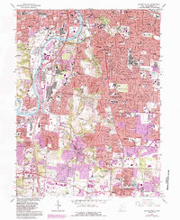
1966 Map of Dayton South
USGS Topo · Published 1988About this map
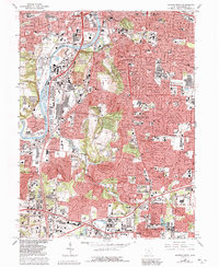
The Great Miami River corridor serves as the industrial and transit spine for these south Dayton suburbs during a period of intense postwar expansion. While the core of Oakwood and Kettering shows established residential patterns, the purple-tinted overprint identifies significant new urban infill spreading toward Centerville and Washington. The map is particularly rich in institutional history, featuring the sprawling grounds of the University of Dayton, the Dayton State Hospital, and several large religious educational centers like the Immaculate Conception Sch and St Leonard College. Local heritage is preserved at the Patterson Mem Homestead and the nearby Patterson Monument, while the Deeds Carillon Tower stands near the river. Large dedicated spaces such as Calvary Cemetery and Hills And Dales Park break up the dense network of streets and rail lines including the Baltimore and Ohio.
Find a feature on this map
88 named features on this map. Tap any name to fly to it.
Don’t see what you’re looking for? This feature index may not catch every label — zoom into the map to look around manually.
Map Details
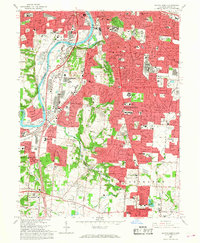
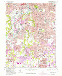
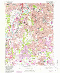
Editions of this 1966 Dayton South Map
5 editions found
Other maps of this area

1904 · Dayton
USGS Topo · 1:62,500

1905 · Brookville
USGS Topo · 1:62,500

1906 · Dayton
USGS Topo · 1:62,500

1908 · Miamisburg
USGS Topo · 1:62,500

1913 · Waynesville
USGS Topo · 1:62,500

1915 · Waynesville
USGS Topo · 1:62,500

1951 · Franklin
USGS Topo · 1:24,000

1953 · Cincinnati
USGS Topo · 1:250,000

1955 · Miamisburg
USGS Topo · 1:24,000
1955 · Waynesville
USGS Topo · 1:24,000