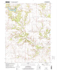
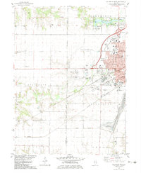
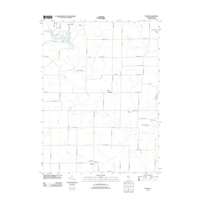
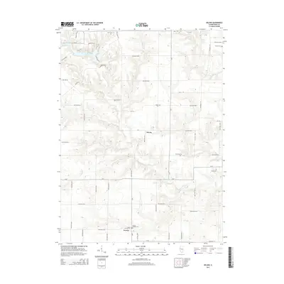
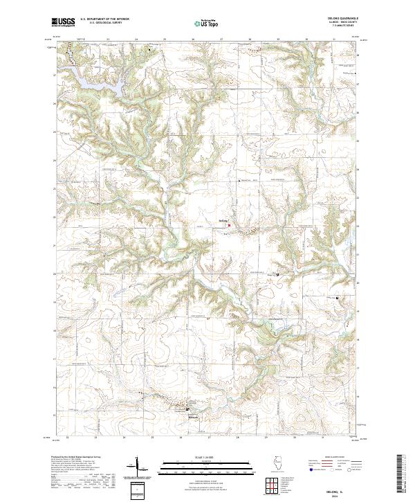
1998 Map of De Long
USGS Topo · Published 2001About this map
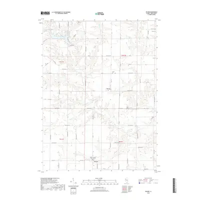
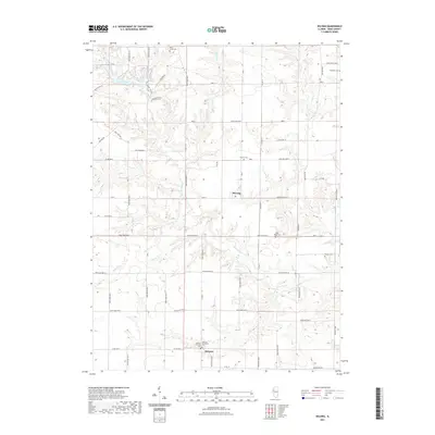
Lake Bracken and its surrounding Lake Bracken Country Club dominate the northwestern corner of this Knox County landscape, where the terrain transitions from upland plateaus into the dendritic drainage patterns of Brush Creek. The settlement of DeLong sits at a central crossroads, while further south, the village of Hermon is situated near Hermon Creek. This area of Illinois is marked by a legacy of rural infrastructure, including a prominent Old Railroad Grade that speaks to former transit corridors and a Radio Tower indicating modern communication links.
Find a feature on this map
26 named features on this map. Tap any name to fly to it.
Don’t see what you’re looking for? This feature index may not catch every label — zoom into the map to look around manually.
Map Details
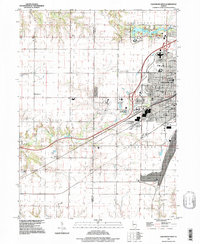
Editions of this 1998 De Long Map
This is the sole edition of this map. No revisions or reprints were ever made.
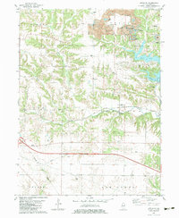
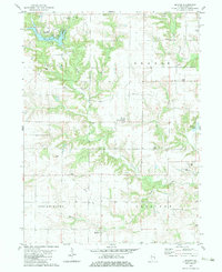
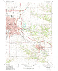
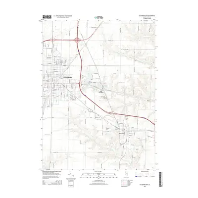
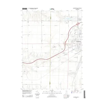
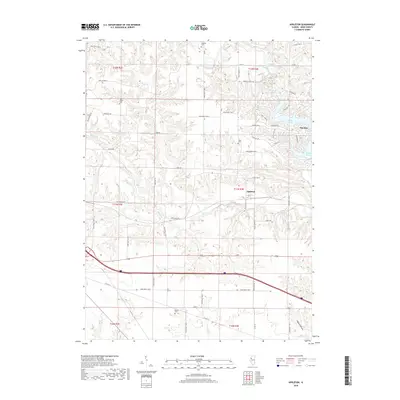
Historical Maps of Hermon Through Time
27 maps found
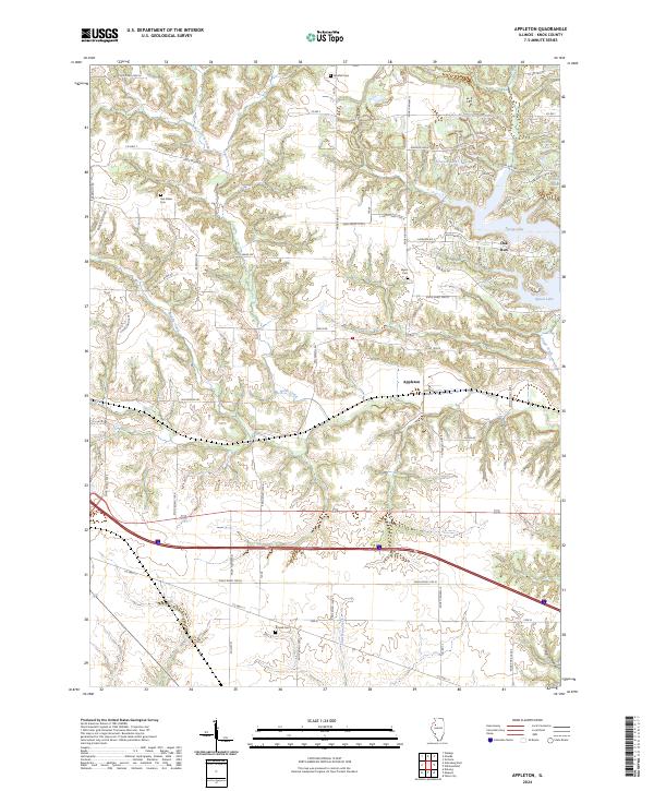
1982 Appleton
Knox County, IL
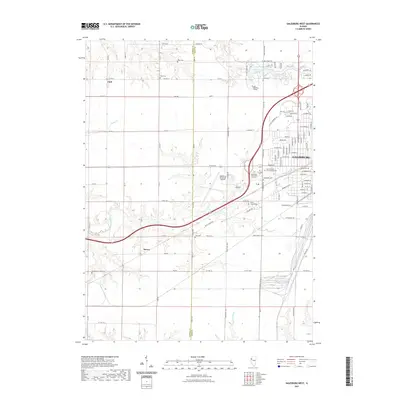
1982 De Long
Knox County, IL
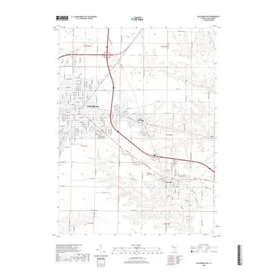
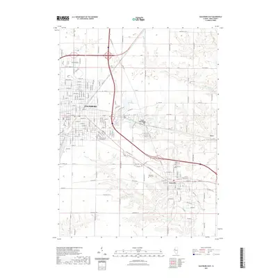
1982 Galesburg East
Knox County, IL
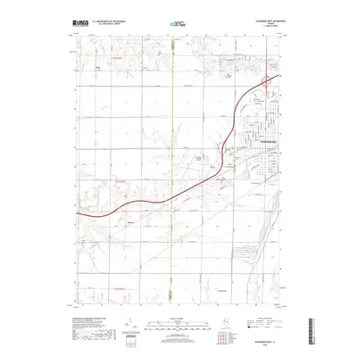
1982 Galesburg West
Knox County, IL
1996 Galesburg West
Knox County, IL
1998 Appleton
Knox County, IL
1998 De Long
Knox County, IL
2012 Appleton
Knox County, IL
2012 DeLong
Knox County, IL
2012 Galesburg East
Knox County, IL
2012 Galesburg West
Knox County, IL
2015 Appleton
Knox County, IL
2015 DeLong
Knox County, IL
2015 Galesburg East
Knox County, IL
2015 Galesburg West
Knox County, IL
2018 Appleton
Knox County, IL
2018 DeLong
Knox County, IL
2018 Galesburg East
Knox County, IL
2018 Galesburg West
Knox County, IL

2021 Appleton
Knox County, IL
2021 DeLong
Knox County, IL
2021 Galesburg East
Knox County, IL
2021 Galesburg West
Knox County, IL
2024 Appleton
Knox County, IL
2024 DeLong
Knox County, IL
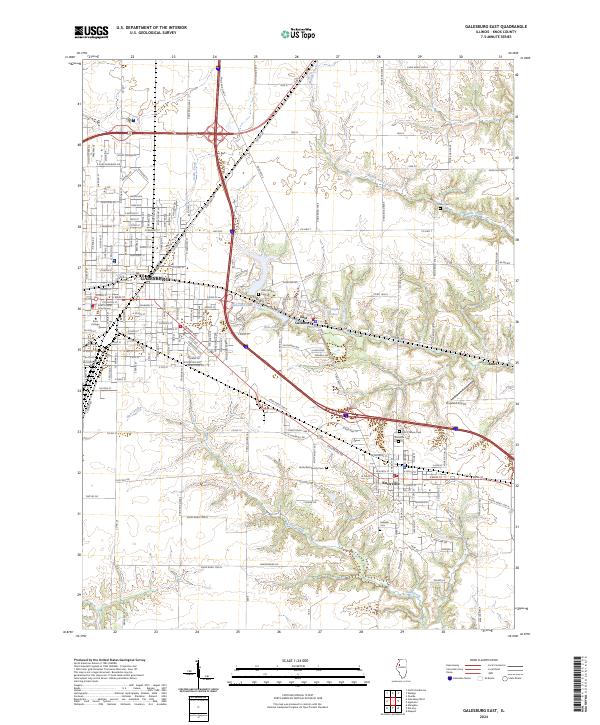
2024 Galesburg East
Knox County, IL
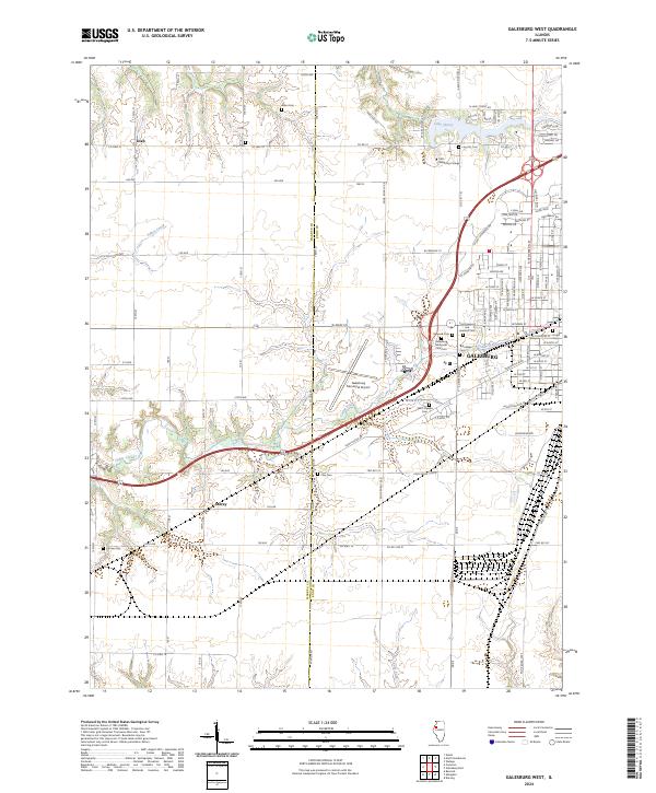
2024 Galesburg West
Knox County, IL