
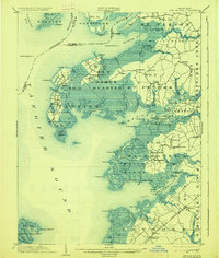
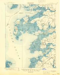
1903 Map of Deal Island
USGS Topo · Published 1903About this map
Tangier Sound and the intricate marshlands of Somerset County dominate this 1900 survey, revealing a landscape defined by the water-based economies of the Chesapeake Bay. Remote outposts like Smith Island and Deal Island are shown with their clustered settlements at Wenona and Chance, where narrow thorofares and creeks provide the only reliable transport routes. On the mainland, the N.Y.P. and N. R. R. Crisfield Branch cuts through the marshes to reach Hopewell and Ward, supporting the region's shipping needs.
Find a feature on this map
127 named features on this map. Tap any name to fly to it.
Don’t see what you’re looking for? This feature index may not catch every label — zoom into the map to look around manually.
Map Details
Editions of this 1903 Deal Island Map
3 editions found
Other maps of this area

1898 · St. Marys
USGS Topo · 1:125,000

1901 · Salisbury
USGS Topo · 1:62,500

1903 · Crisfield
USGS Topo · 1:62,500

1903 · Nanticoke
USGS Topo · 1:62,500

1903 · Bloodsworth Island
USGS Topo · 1:62,500

1905 · Crapo
USGS Topo · 1:62,500

1906 · St. Marys
USGS Topo · 1:125,000

1917 · Ewell
USGS Topo · 1:62,500

1920 · Crisfield
USGS Topo · 1:62,500

1942 · Terrapin Sand Point
USGS Topo · 1:24,000