
1927 Map of Dearborn
USGS Topo · Published 1927About this map
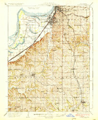
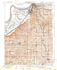
The industrial and agricultural interface of Northwest Missouri is clearly visible in this survey, where the southern reaches of Saint Joseph meet the extensive Stockyards and the winding course of the Missouri River. The landscape is dominated by the alluvial bottomlands of Lake Contrary and the complex of former river channels including Old Mud Lake and Horseshoe Lake. These wetlands provide a stark contrast to the upland townships of Washington, Center, and Bloomington, which are densely dotted with country institutions like Sleepy Hollow School and Valley Chapel.
Find a feature on this map
76 named features on this map. Tap any name to fly to it.
Don’t see what you’re looking for? This feature index may not catch every label — zoom into the map to look around manually.
Map Details
Editions of this 1927 Dearborn Map
3 editions found
Other maps of this area

1885 · Atchison
USGS Topo · 1:125,000

1886 · Oskaloosa
USGS Topo · 1:125,000

1888 · Oskaloosa
USGS Topo · 1:125,000

1888 · Atchison
USGS Topo · 1:125,000

1890 · Kansas City
USGS Topo · 1:125,000

1893 · Atchison
USGS Topo · 1:125,000

1894 · Kansas City
USGS Topo · 1:125,000

1894 · Oskaloosa
USGS Topo · 1:125,000

1910 · Leavenworth
USGS Topo · 1:62,500

1914 · Smithville
USGS Topo · 1:62,500