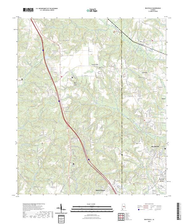
2024 Map of Deatsville
USGS Topo · Published 2024About this map
Stoney Point and Pine Level anchor this landscape along the Autauga and Elmore county line. The map reveals a transition from the wooded elevations of Pine Level Ridge down toward the growing residential edges of Millbrook and the northern outskirts of Pratville. The presence of the Ingram State Technical College in Deatsville marks the area's modern institutional character, while the CSX Transportation rail line follows the low ground near Mortar Creek, tracing a path established long before the current suburban expansion.
Find a feature on this map
169 named features on this map. Tap any name to fly to it.
Don’t see what you’re looking for? This feature index may not catch every label — zoom into the map to look around manually.
Map Details
Editions of this 2024 Deatsville Map
This is the sole edition of this map. No revisions or reprints were ever made.
Other maps of this area

1891 · Clanton
USGS Topo · 1:125,000

1901 · Wetumpka
USGS Topo · 1:125,000

1903 · Wetumpka
USGS Topo · 1:125,000

1927 · Montgomery
USGS Topo · 1:48,000

1930 · Montgomery
USGS Topo · 1:62,500

1953 · Montgomery
USGS Topo · 1:250,000

1956 · Montgomery
USGS Topo · 1:250,000

1957 · Montgomery
USGS Topo · 1:250,000

1957 · Autaugaville
USGS Topo · 1:62,500

1958 · Montgomery
USGS Topo · 1:62,500