
1967 Map of Deep Creek
USGS Topo · Published 1971About this map
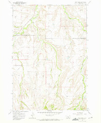
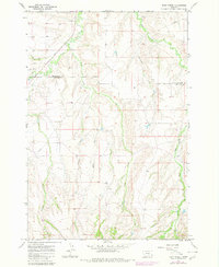
Pryor Creek and Deep Creek wind through this corner of the Crow Indian Reservation in the late 1960s, defining a landscape marked by steep coulees and intermittent drainage. The boundary between Yellowstone County and Big Horn County cuts across the northern half of the map, where the terrain transitions from the lowlands near a small Claypit and a lone Cem to the more dissected plateaus of the south. This area is defined by its watercourses, including the curiously named Fourth of July Creek and Smallpox Creek, which likely hold significant local historical associations. The presence of a long Pipeline corridor crossing the western sections indicates the encroachment of energy infrastructure into this rural ranching territory, contrasting with the many family-named landmarks and benchmarks like BM 4210 scattered across the ridgelines.
Find a feature on this map
18 named features on this map. Tap any name to fly to it.
Don’t see what you’re looking for? This feature index may not catch every label — zoom into the map to look around manually.
Map Details
Editions of this 1967 Deep Creek Map
3 editions found
Other maps of this area

1893 · Huntley
USGS Topo · 1:125,000

1954 · Billings
USGS Topo · 1:250,000

1957 · Billings
USGS Topo · 1:250,000

1958 · Billings
USGS Topo · 1:250,000

1967 · Deep Creek SE
USGS Topo · 1:24,000

1967 · Castle Rocks
USGS Topo · 1:24,000

1967 · Pryor
USGS Topo · 1:24,000

1967 · Deep Creek SW
USGS Topo · 1:24,000

1967 · Soda Springs
USGS Topo · 1:24,000
1967 · Chilkoot Coulee
USGS Topo · 1:24,000