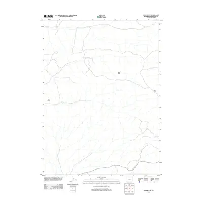
2012 Map of Deer Butte
USGS Topo · Published 2012About this map
Deer Butte and Cabin Butte rise above the high plains of Sweetwater County, anchoring a landscape defined by drainage patterns and isolation. This 2012 survey by the U.S. Geological Survey captures the remote topography of southern Wyoming, where ephemeral streams and seasonal washes carve through the arid terrain. The map highlights distinctive natural landmarks such as Twin Rocks in the southwest, providing essential navigation points in a region with very few developed roads or permanent settlements. The layout of the 4WD trails and secondary routes suggests a landscape used primarily for resource management and ranching, reflecting the modern character of this high-altitude desert environment.
Find a feature on this map
3 named features on this map. Tap any name to fly to it.
Don’t see what you’re looking for? This feature index may not catch every label — zoom into the map to look around manually.
Map Details
Editions of this 2012 Deer Butte Map
This is the sole edition of this map. No revisions or reprints were ever made.
Other maps of this area

1908 · Rock Springs
USGS Topo · 1:62,500

1910 · Rock Springs
USGS Topo · 1:62,500

1954 · Rock Springs
USGS Topo · 1:250,000

1958 · Rock Springs
USGS Topo · 1:250,000

1958 · Boars Tusk
USGS Topo · 1:62,500

1958 · Superior
USGS Topo · 1:62,500

1962 · Rock Springs
USGS Topo · 1:250,000

1968 · North Baxter
USGS Topo · 1:24,000
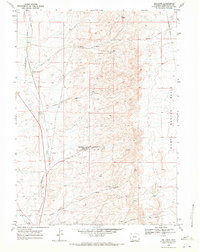
1968 · Reliance
USGS Topo · 1:24,000
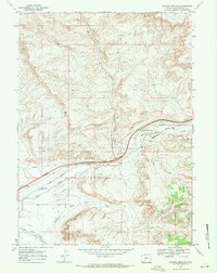
1968 · Thayer Junction
USGS Topo · 1:24,000