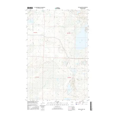
2016 Map of Deer Lake West
USGS Topo · Published 2016About this map
Deer Lake and its surrounding wetlands dominate this landscape in central Itasca County, showing a complex glacial terrain defined by numerous lakes and meandering waterways. To the west, Busties Lake and Barrett Lake sit among forest tracts, while the central portion is drained by Deer Creek and Coon Creek. The map documents a network of county roads and specialized access routes, such as Bass Lake Campground Rd and Busties Lake Acc, which highlight the area's importance for local recreation and timber management. Numerous smaller water bodies like Sucker Lake, Lake Erskine, and Larson Lake are interspersed throughout the township grids of t62n r25w and t61n r24w, illustrating the dense hydrography of the Minnesota Northwoods.
Find a feature on this map
35 named features on this map. Tap any name to fly to it.
Don’t see what you’re looking for? This feature index may not catch every label — zoom into the map to look around manually.
Map Details
Editions of this 2016 Deer Lake West Map
This is the sole edition of this map. No revisions or reprints were ever made.
Other maps of this area

1919 · Release
USGS Topo · 1:62,500

1919 · Marcell
USGS Topo · 1:62,500

1943 · Release
USGS Topo · 1:62,500

1954 · Hibbing
USGS Topo · 1:250,000

1957 · Hibbing
USGS Topo · 1:250,000

1958 · Hibbing
USGS Topo · 1:250,000

1964 · Hibbing
USGS Topo · 1:250,000

1970 · Coon Lake
USGS Topo · 1:24,000

1970 · Deer Lake East
USGS Topo · 1:24,000
1970 · Anderson Lake
USGS Topo · 1:24,000