
1953 Map of Deer Park SE
USGS Topo · Published 1954About this map
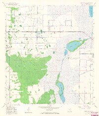
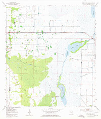
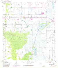
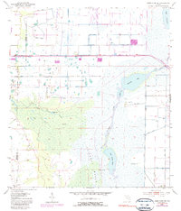
The St Johns River headwaters dominate this 1953 landscape, where the river winds through the expansive St Johns Marsh and connects water bodies like Sawgrass Lake and Lake Hellen Blazes. This era of Florida's geography is defined by a complex hydraulic network of levees, spoil banks, and canals, reflecting significant mid-century efforts to manage the water levels of the Upper St. Johns River Basin. Historical land use is visible in the presence of archaeological sites like North Indian Field, Middle Indian Field, and South Indian Field, which are situated on slightly elevated ground above the wetlands. Transportation history is noted by an Old Railroad Grade cutting across the marsh, while the western portion of the map is occupied by the dense Jane Green Swamp, where Jane Green Creek and Puzzle Lake create a maze-like drainage pattern along the boundary of Osceola and Brevard Counties.
Find a feature on this map
18 named features on this map. Tap any name to fly to it.
Don’t see what you’re looking for? This feature index may not catch every label — zoom into the map to look around manually.
Map Details
Editions of this 1953 Deer Park SE Map
5 editions found
Other maps of this area

1949 · Melbourne West
USGS Topo · 1:24,000

1949 · Eau Gallie
USGS Topo · 1:24,000

1951 · Eau Gallie
USGS Topo · 1:24,000

1951 · Melbourne West
USGS Topo · 1:24,000

1953 · Deer Park NE
USGS Topo · 1:24,000

1953 · Fellsmere NW
USGS Topo · 1:24,000

1953 · Kenansville
USGS Topo · 1:24,000

1953 · Deer Park NW
USGS Topo · 1:24,000

1953 · Kenansville NE
USGS Topo · 1:24,000

1953 · Deer Park
USGS Topo · 1:24,000