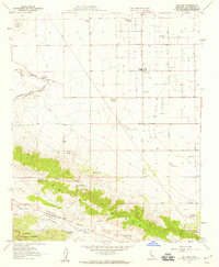
1958 Map of Del Sur
USGS Topo · Published 1959About this map
Antelope Acres and the surrounding high desert landscape are defined by a network of ranching outposts and agricultural research sites in the late 1950s. The map illustrates a transition from the grid-patterned valley floor to the geological complexity of the San Andreas Rift Zone. Several named family estates, including the Eric Munz Ranch, Cochems Ranch, and Pitchfork Ranch, are scattered throughout the territory, highlighting the area's rural heritage.
Find a feature on this map
31 named features on this map. Tap any name to fly to it.
Don’t see what you’re looking for? This feature index may not catch every label — zoom into the map to look around manually.
Map Details
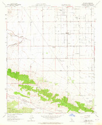
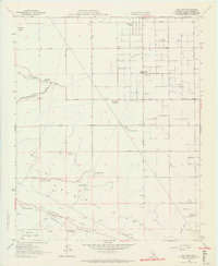
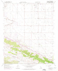
Editions of this 1958 Del Sur Map
4 editions found
Other maps of this area

1915 · Elizabeth Lake
USGS Topo · 1:125,000

1917 · Elizabeth Lake
USGS Topo · 1:125,000

1931 · Little Buttes
USGS Topo · 1:24,000

1931 · Del Sur
USGS Topo · 1:24,000

1931 · Esperanza School
USGS Topo · 1:24,000

1932 · Lake
USGS Topo · 1:24,000

1934 · Little Buttes
USGS Topo · 1:24,000

1934 · Esperanza School
USGS Topo · 1:24,000
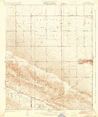
1936 · Del Sur
USGS Topo · 1:24,000
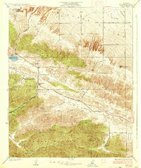
1937 · Lake
USGS Topo · 1:24,000