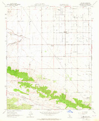
1958 Map of Del Sur
USGS Topo · Published 1964About this map
Portal Ridge dominates this high-desert landscape, where the dramatic San Andreas Rift Zone and Elizabeth Lake-Pine Canyon create a distinct geological divide through Los Angeles County. In the late 1950s, this region was characterized by scattered ranches and essential agricultural research, notably the Univ of Calif Agricultural Field Station. The settlement of Del Sur serves as a small hub, anchored by the Del Sur School, while surrounding areas like Antelope Acres show the early footprints of rural expansion. Water management and family-owned properties are central to the area's development, evidenced by names like Eric Munz Ranch, Foothill Ranch, and the Leona Valley Ranch. The terrain varies from the level basin floors where a Landing Strip and Antelope Substation are located, to the elevations of Johnson Summit within the northern edge of the Angeles National Forest.
Find a feature on this map
41 named features on this map. Tap any name to fly to it.
Don’t see what you’re looking for? This feature index may not catch every label — zoom into the map to look around manually.
Map Details
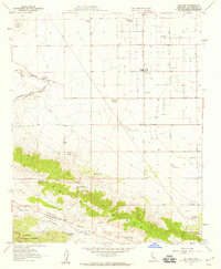
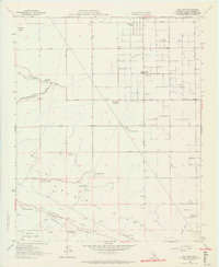
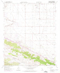
Editions of this 1958 Del Sur Map
4 editions found
Other maps of this area

1915 · Elizabeth Lake
USGS Topo · 1:125,000

1917 · Elizabeth Lake
USGS Topo · 1:125,000

1931 · Little Buttes
USGS Topo · 1:24,000

1931 · Del Sur
USGS Topo · 1:24,000

1931 · Esperanza School
USGS Topo · 1:24,000

1932 · Lake
USGS Topo · 1:24,000

1934 · Little Buttes
USGS Topo · 1:24,000

1934 · Esperanza School
USGS Topo · 1:24,000
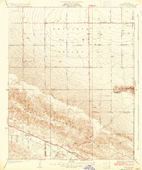
1936 · Del Sur
USGS Topo · 1:24,000
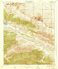
1937 · Lake
USGS Topo · 1:24,000