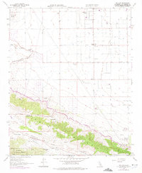
1958 Map of Del Sur
USGS Topo · Published 1975About this map
The San Andreas Rift Zone creates a striking tectonic corridor through this portion of the High Desert, separating the floor of Leona Valley from the northern desert expanse. Mapping revisions from the mid-1970s illustrate the arrival of the California Aqueduct, which cuts across the landscape near the base of Ritter Ridge. The map reveals a transition from traditional high-altitude ranching to specialized agricultural operations, documented by the presence of the Eric Munz Ranch, Pitchfork Ranch, and the Univ of Calif Agricultural Field Station. Small settlements like Antelope Acres and Del Sur stand as localized hubs in an area defined by water management and mountain passes. To the south, the Angeles National Forest boundary marks the ascent toward Johnson Summit, overlooking the drainage of Amargosa Creek and the historic Elizabeth Lake-Willow Springs Road.
Find a feature on this map
29 named features on this map. Tap any name to fly to it.
Don’t see what you’re looking for? This feature index may not catch every label — zoom into the map to look around manually.
Map Details
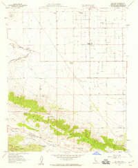
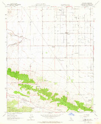
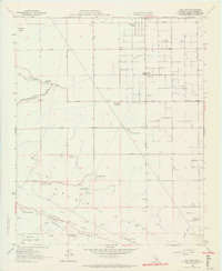
Editions of this 1958 Del Sur Map
4 editions found
Other maps of this area

1915 · Elizabeth Lake
USGS Topo · 1:125,000

1917 · Elizabeth Lake
USGS Topo · 1:125,000

1931 · Little Buttes
USGS Topo · 1:24,000

1931 · Del Sur
USGS Topo · 1:24,000

1931 · Esperanza School
USGS Topo · 1:24,000

1932 · Lake
USGS Topo · 1:24,000

1934 · Little Buttes
USGS Topo · 1:24,000

1934 · Esperanza School
USGS Topo · 1:24,000
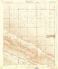
1936 · Del Sur
USGS Topo · 1:24,000
1937 · Lake
USGS Topo · 1:24,000