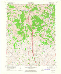
1965 Map of Delaplain
USGS Topo · Published 1966About this map
The Southern railroad corridor defines the central landscape of this Scott County region, connecting small rural communities and agricultural hubs. In the mid-1960s, the terrain south of Eagle Creek is a mix of wooded slopes and cleared farmland, with small settlements like Biddle and Turkey Foot situated along the winding creek branches. Further south, the map reveals a collection of closely spaced crossroads communities including Oxford, Boydtown, and Cranetown, indicating a pattern of persistent small-scale settlement near the rail line and early road network. Evidence of community life is visible in the distribution of rural landmarks such as Salem Ch, Mt Olive Ch, and Dry Run Ch. The landscape is intricately carved by water, with Little Eagle Creek and Dry Run flowing through the undulating topography that dominates the northern half of the quadrangle.
Find a feature on this map
35 named features on this map. Tap any name to fly to it.
Don’t see what you’re looking for? This feature index may not catch every label — zoom into the map to look around manually.
Map Details
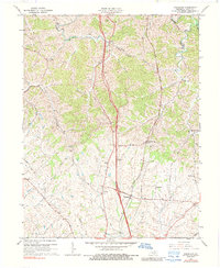
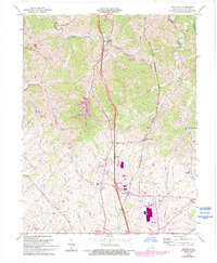
Editions of this 1965 Delaplain Map
3 editions found
Other maps of this area

1906 · Georgetown
USGS Topo · 1:62,500

1908 · Georgetown
USGS Topo · 1:62,500

1927 · Lexington
USGS Topo · 1:48,000

1929 · Cynthiana
USGS Topo · 1:48,000

1929 · Lexington
USGS Topo · 1:62,500

1934 · Cynthiana
USGS Topo · 1:62,500

1939 · Sadieville
USGS Topo · 1:62,500

1952 · Midway
USGS Topo · 1:24,000

1953 · Sadieville
USGS Topo · 1:24,000

1953 · Breckinridge
USGS Topo · 1:24,000