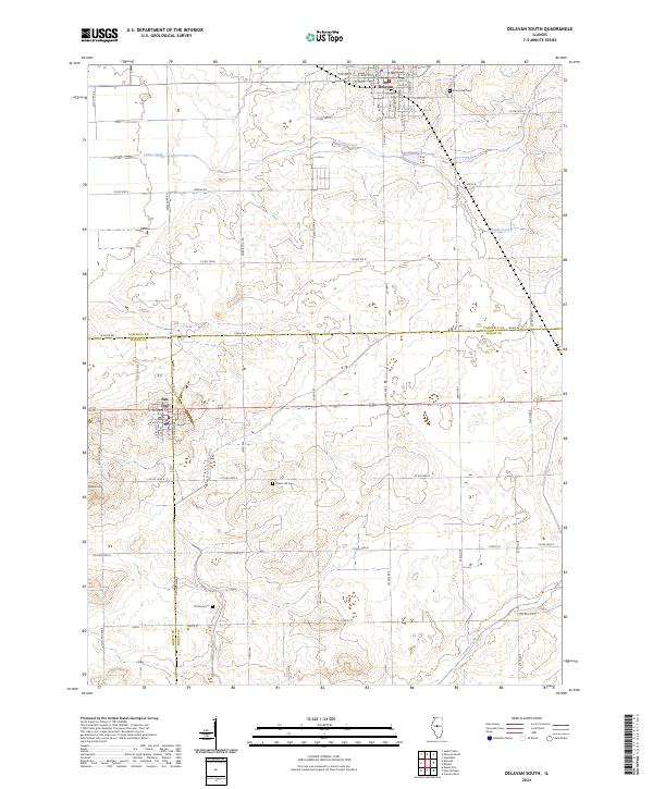
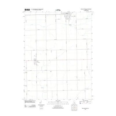
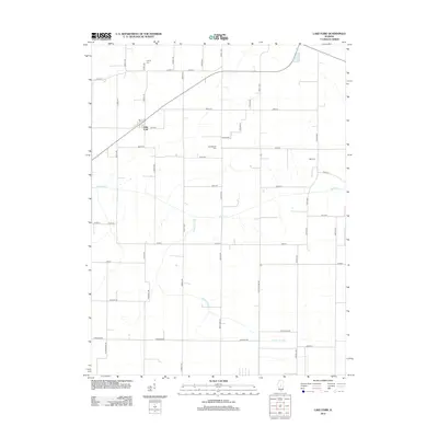
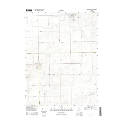
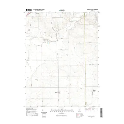
2024 Map of Delavan South
USGS Topo · Published 2024About this map
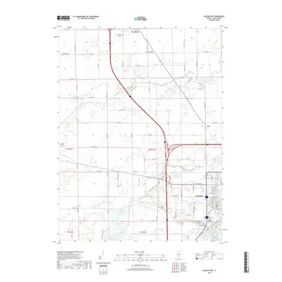
Delavan and San Jose anchor this central Illinois landscape, where the flat agricultural plains are carved by the winding courses of Crane Creek and Prairie Creek. The map documents a strictly organized township and range grid, intersected by specialized local routes like Caterpillar Rd and Morris Mill Rd that hint at the region's industrial and agricultural history.
Find a feature on this map
64 named features on this map. Tap any name to fly to it.
Don’t see what you’re looking for? This feature index may not catch every label — zoom into the map to look around manually.
Map Details
Editions of this 2024 Delavan South Map
This is the sole edition of this map. No revisions or reprints were ever made.
Historical Maps of Delavan Through Time
31 maps found
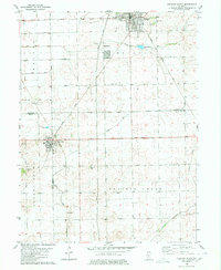
1980 Delavan South
Logan County, IL
1980 Lincoln East
Logan County, IL
1980 Lincoln West
Logan County, IL
1980 Waynesville West
Logan County, IL
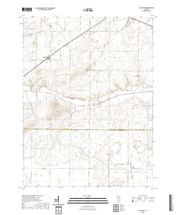
1982 Lake Fork
Logan County, IL
1996 Lincoln West
Logan County, IL
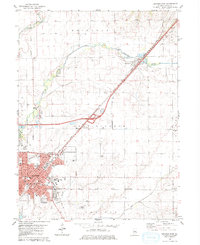
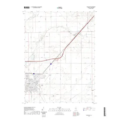
2012 Delavan South
Logan County, IL
2012 Lake Fork
Logan County, IL
2012 Lincoln East
Logan County, IL
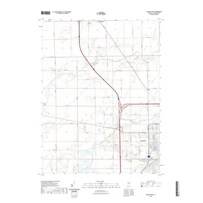
2012 Lincoln West
Logan County, IL
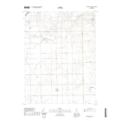
2012 Waynesville West
Logan County, IL
2015 Delavan South
Logan County, IL
2015 Lake Fork
Logan County, IL
2015 Lincoln East
Logan County, IL
2015 Lincoln West
Logan County, IL
2015 Waynesville West
Logan County, IL
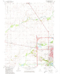
2018 Delavan South
Logan County, IL
2018 Lake Fork
Logan County, IL
2018 Lincoln East
Logan County, IL
2018 Lincoln West
Logan County, IL
2018 Waynesville West
Logan County, IL
2021 Delavan South
Logan County, IL
2021 Lake Fork
Logan County, IL
2021 Lincoln East
Logan County, IL
2021 Lincoln West
Logan County, IL
2021 Waynesville West
Logan County, IL
2024 Delavan South
Logan County, IL
2024 Lake Fork
Logan County, IL
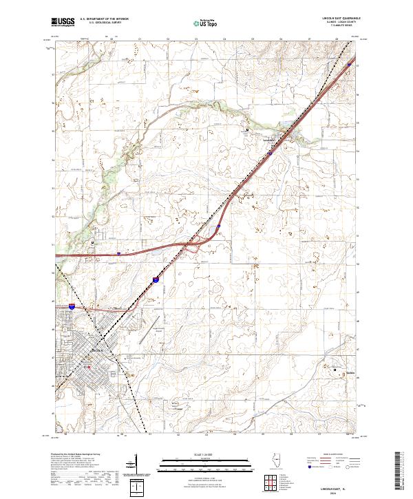
2024 Lincoln East
Logan County, IL
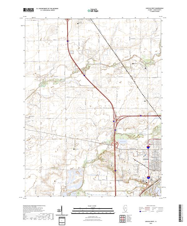
2024 Lincoln West
Logan County, IL
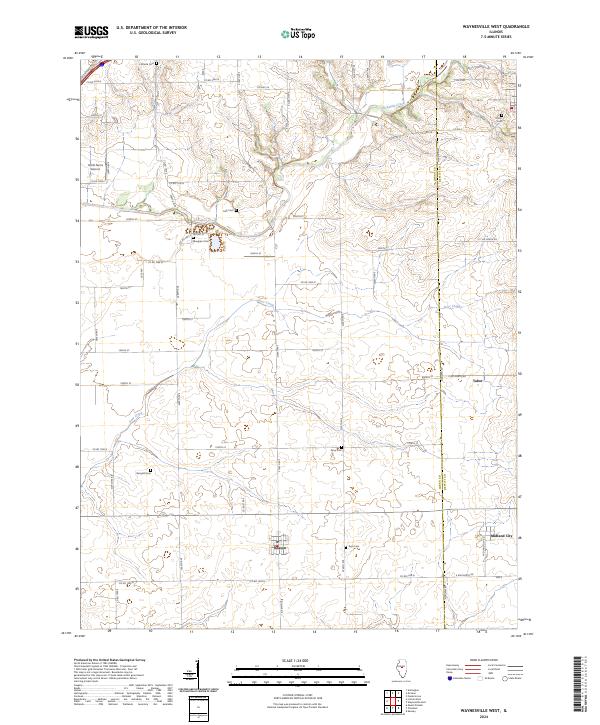
2024 Waynesville West
Logan County, IL