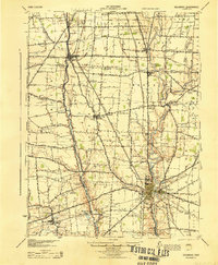
1944 Map of Delaware
USGS Topo · Published 1944About this map
The Scioto River valley and its surrounding central Ohio farmlands are documented here during the mid-1940s, showing a landscape defined by small rail-stop communities and intersecting county lines. The city of Delaware serves as a major hub where the Pennsylvania and New York Central railroads converge. Northward, the village of Waldo and the town of Prospect sit along a network of rural roads that includes the historic Treaty Line Road.
Find a feature on this map
68 named features on this map. Tap any name to fly to it.
Don’t see what you’re looking for? This feature index may not catch every label — zoom into the map to look around manually.
Map Details
Editions of this 1944 Delaware Map
This is the sole edition of this map. No revisions or reprints were ever made.
Other maps of this area

1901 · Dublin
USGS Topo · 1:62,500

1902 · Westerville
USGS Topo · 1:62,500

1903 · Dublin
USGS Topo · 1:62,500
1903 · Marion
USGS Topo · 1:62,500

1904 · Westerville
USGS Topo · 1:62,500
1905 · Marion
USGS Topo · 1:62,500
1913 · Mount Gilead
USGS Topo · 1:62,500
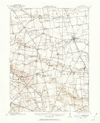
1913 · Richwood
USGS Topo · 1:62,500
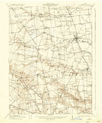
1915 · Richwood
USGS Topo · 1:62,500
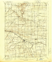
1915 · La Rue
USGS Topo · 1:62,500