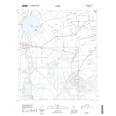
2020 Map of Delcambre
USGS Topo · Published 2020About this map
The salt domes and marshes of the Louisiana coastline define this area, where Jefferson Island and Avery Island rise as distinct topographic and cultural landmarks. These geologic features are central to the region's identity, surrounded by a complex network of coulees and canals like Badeaux Coulee and the Delcambre Canal. The town of Delcambre sits at the western edge, a hub for local industry and transport along the BNSF Railway. Numerous small settlements such as Derouen and Brousville are scattered across the landscape, often identified by family-named landmarks and cemeteries including Landry Cem and Broussard Cem. The landscape shows a deep history of Catholic and Baptist community roots, visible in the Saint Marcellus Catholic Cem and Star Temple Baptist Cem. The southern reach is dominated by wetlands and named water bodies like Willow Pond and Saline Wood Pond, illustrating the intricate hydrology of Iberia and Vermilion Parishes.
Find a feature on this map
125 named features on this map. Tap any name to fly to it.
Don’t see what you’re looking for? This feature index may not catch every label — zoom into the map to look around manually.
Map Details
Editions of this 2020 Delcambre Map
This is the sole edition of this map. No revisions or reprints were ever made.
Other maps of this area

1932 · Abbeville SE
USGS Topo · 1:31,680

1932 · Abbeville NE
USGS Topo · 1:31,680

1937 · Derouen
USGS Topo · 1:62,500

1939 · St. Martinsville
USGS Topo · 1:62,500

1945 · New Orleans
USGS Topo · 1:250,000

1946 · Milton
USGS Topo · 1:31,680

1952 · Lake Charles
USGS Topo · 1:250,000
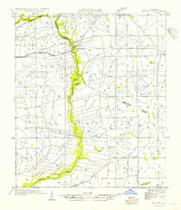
1954 · Milton
USGS Topo · 1:31,680

1954 · Port Arthur
USGS Topo · 1:250,000
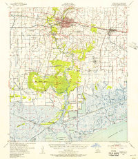
1954 · Abbeville
USGS Topo · 1:62,500