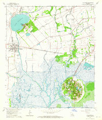
1963 Map of Delcambre
USGS Topo · Published 1964About this map
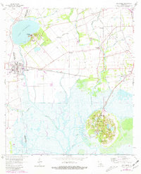
Avery Island rises distinctly from the surrounding marshlands, dominated by the famous Jungle Gardens and a network of ponds including Hayes Pond and Willow Pond. This salt dome landscape contrasts sharply with the low-lying wetlands of Petite Anse Bayou and Bayou Carlin that define the southern portion of the region. To the northwest, Jefferson Island sits on the shore of Lake Peigneur, illustrating the unique geological salt-dome topography of coastal Louisiana.
Find a feature on this map
41 named features on this map. Tap any name to fly to it.
Don’t see what you’re looking for? This feature index may not catch every label — zoom into the map to look around manually.
Map Details
Editions of this 1963 Delcambre Map
2 editions found
Other maps of this area

1932 · Abbeville SE
USGS Topo · 1:31,680

1932 · Abbeville NE
USGS Topo · 1:31,680

1937 · Derouen
USGS Topo · 1:62,500

1939 · St. Martinsville
USGS Topo · 1:62,500

1945 · New Orleans
USGS Topo · 1:250,000

1946 · Milton
USGS Topo · 1:31,680

1952 · Lake Charles
USGS Topo · 1:250,000
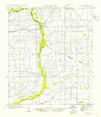
1954 · Milton
USGS Topo · 1:31,680

1954 · Port Arthur
USGS Topo · 1:250,000
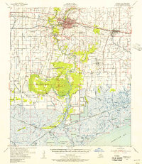
1954 · Abbeville
USGS Topo · 1:62,500