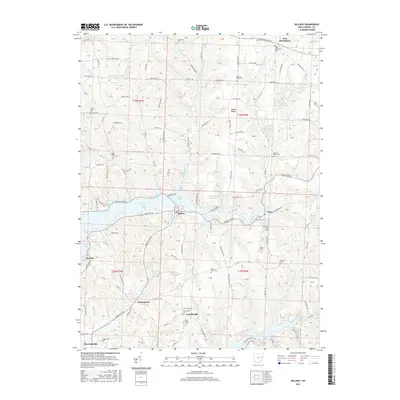
2016 Map of Dellroy
USGS Topo · Published 2016About this map
Atwood Lake and the branching waters of Leesville Lake dominate the landscape of this Ohio Carroll County region. The terrain is marked by significant elevation changes, notably along Baxter Ridge, where rural life is anchored by small settlements like Sherrodsville, Leavittsville, and Queensboro. This 2016 survey documents the intricate network of township roads and drainage systems, including Thompson Run and Indian Fork, which feed the larger reservoirs.
Find a feature on this map
92 named features on this map. Tap any name to fly to it.
Don’t see what you’re looking for? This feature index may not catch every label — zoom into the map to look around manually.
Map Details
Editions of this 2016 Dellroy Map
This is the sole edition of this map. No revisions or reprints were ever made.
Other maps of this area
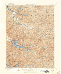
1902 · Scio
USGS Topo · 1:62,500
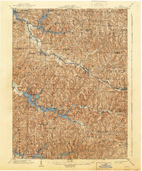
1904 · Scio
USGS Topo · 1:62,500
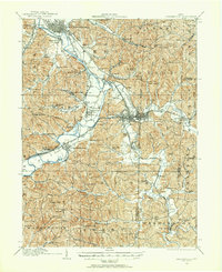
1909 · Uhrichsville
USGS Topo · 1:62,500
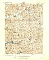
1910 · Carrollton
USGS Topo · 1:62,500
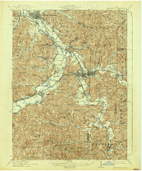
1911 · Uhrichsville
USGS Topo · 1:62,500
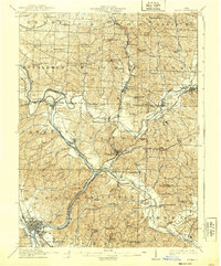
1912 · Dover
USGS Topo · 1:62,500
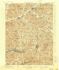
1912 · Carrollton
USGS Topo · 1:62,500
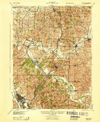
1944 · Dover
USGS Topo · 1:62,500

1951 · Canton
USGS Topo · 1:250,000

1953 · Canton
USGS Topo · 1:250,000