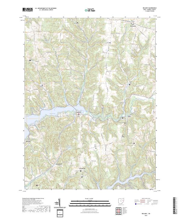
2023 Map of Dellroy
USGS Topo · Published 2023About this map
Atwood Lake and its intricate shoreline dominate this portion of Carroll County, where the village of Dellroy serves as a local hub. The landscape is defined by the significant elevation of Baxter Ridge and numerous narrow valleys carved by waterways like Indian Fork and Delroy Creek. For genealogists and local historians, the area is notable for its high density of family-named burial sites, including the Price - Rollins Cem, McGuire Cem, and the Old Scott Cem.
Find a feature on this map
95 named features on this map. Tap any name to fly to it.
Don’t see what you’re looking for? This feature index may not catch every label — zoom into the map to look around manually.
Map Details
Editions of this 2023 Dellroy Map
This is the sole edition of this map. No revisions or reprints were ever made.
Other maps of this area
1902 · Scio
USGS Topo · 1:62,500
1904 · Scio
USGS Topo · 1:62,500
1909 · Uhrichsville
USGS Topo · 1:62,500
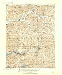
1910 · Carrollton
USGS Topo · 1:62,500
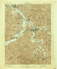
1911 · Uhrichsville
USGS Topo · 1:62,500
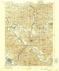
1912 · Dover
USGS Topo · 1:62,500
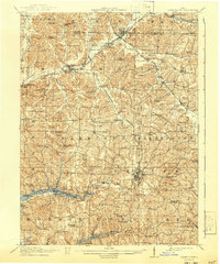
1912 · Carrollton
USGS Topo · 1:62,500
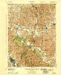
1944 · Dover
USGS Topo · 1:62,500

1951 · Canton
USGS Topo · 1:250,000

1953 · Canton
USGS Topo · 1:250,000