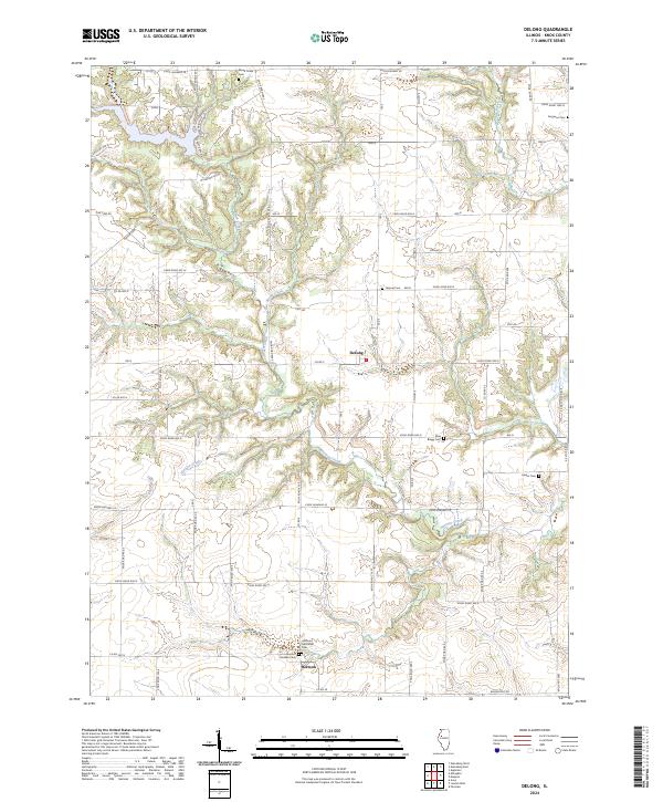
2024 Map of DeLong
USGS Topo · Published 2024About this map
The small unincorporated community of DeLong anchors this section of Knox County, where agricultural fields are broken by the winding riparian corridors of Brush Creek and Brunk Creek. The landscape preserves a significant record of early settlement through its numerous family and community burial grounds. Near the southern edge, the village of Hermon is flanked by both the Hermon Methodist Cem and the Hermon Christian Cem, while more isolated sites like the Elias Bragg Cem and Harper Cem dot the rural sections to the east.
Find a feature on this map
56 named features on this map. Tap any name to fly to it.
Don’t see what you’re looking for? This feature index may not catch every label — zoom into the map to look around manually.
Map Details
Editions of this 2024 DeLong Map
This is the sole edition of this map. No revisions or reprints were ever made.
Other maps of this area

1912 · Canton
USGS Topo · 1:62,500

1915 · Avon
USGS Topo · 1:62,500

1925 · Galesburg
USGS Topo · 1:62,500

1927 · Galesburg
USGS Topo · 1:62,500

1941 · Maquon
USGS Topo · 1:62,500

1943 · Maquon
USGS Topo · 1:62,500

1944 · Avon
USGS Topo · 1:62,500

1958 · Burlington
USGS Topo · 1:250,000

1961 · Burlington
USGS Topo · 1:250,000

1963 · Burlington
USGS Topo · 1:250,000