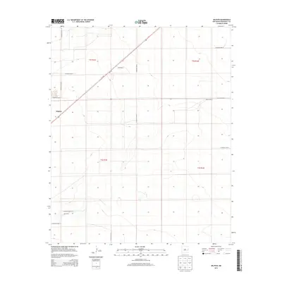
2013 Map of Delphos
USGS Topo · Published 2013About this map
Delphos sits in the high plains of Roosevelt County, New Mexico, where the geometric precision of the Public Land Survey System meets the diagonal path of the modern highway. This 2013 survey illustrates the agricultural foundations of the region, anchored by established properties like Ribble Ranch and Compton Ranch. The landscape is dominated by a grid of rural thoroughfares, such as S Roosevelt Road AB and S Roosevelt Road X, which facilitate the movement of goods and livestock between the expansive farming and ranching parcels. A notable deviation from the north-south alignment is the corridor of Us-70 E, cutting northwest to southeast across the terrain. Farther south, the Parrish Farm marks the local agrarian footprint, while the vast network of county roads, including S Roosevelt Road 17, provides a clear view of how this high-desert territory is partitioned and managed.
Find a feature on this map
19 named features on this map. Tap any name to fly to it.
Don’t see what you’re looking for? This feature index may not catch every label — zoom into the map to look around manually.
Map Details
Editions of this 2013 Delphos Map
This is the sole edition of this map. No revisions or reprints were ever made.
Other maps of this area

1954 · Clovis
USGS Topo · 1:250,000

1954 · Brownfield
USGS Topo · 1:250,000

1957 · Portales
USGS Topo · 1:62,500

1958 · Brownfield
USGS Topo · 1:250,000

1958 · Clovis
USGS Topo · 1:250,000

1962 · Brownfield
USGS Topo · 1:250,000

1972 · Dora NW
USGS Topo · 1:24,000

1972 · Dora
USGS Topo · 1:24,000

1973 · Floyd
USGS Topo · 1:24,000

1973 · Floyd SE
USGS Topo · 1:24,000