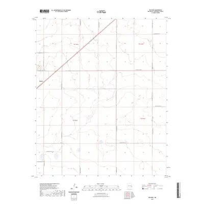
2023 Map of Delphos
USGS Topo · Published 2023About this map
Delphos and its surrounding High Plains terrain are defined by a meticulous grid of rural roads in this modern study of Roosevelt County. The landscape is structured by township and range boundaries including t2s r33e and t2s r34e, which dictate the placement of local connectors like S Roosevelt Road X and S Roosevelt Rd Y. This pattern of land division reflects the enduring legacy of the Homestead Act and the Public Land Survey System, where property lines and transport corridors remain strictly aligned with cardinal directions. Aside from the small cluster at Delphos, the area is characterized by scattered ephemeral drainage patterns and topographic depressions that break the otherwise steady elevation of the Llano Estacado. The road network, including S Roosevelt Road 17 and S Roosevelt Road 16, provides essential access to the agricultural parcels that dominate this New Mexico interior.
Find a feature on this map
19 named features on this map. Tap any name to fly to it.
Don’t see what you’re looking for? This feature index may not catch every label — zoom into the map to look around manually.
Map Details
Editions of this 2023 Delphos Map
This is the sole edition of this map. No revisions or reprints were ever made.
Other maps of this area

1954 · Clovis
USGS Topo · 1:250,000

1954 · Brownfield
USGS Topo · 1:250,000

1957 · Portales
USGS Topo · 1:62,500

1958 · Brownfield
USGS Topo · 1:250,000

1958 · Clovis
USGS Topo · 1:250,000

1962 · Brownfield
USGS Topo · 1:250,000

1972 · Dora NW
USGS Topo · 1:24,000

1972 · Dora
USGS Topo · 1:24,000

1973 · Floyd
USGS Topo · 1:24,000

1973 · Floyd SE
USGS Topo · 1:24,000