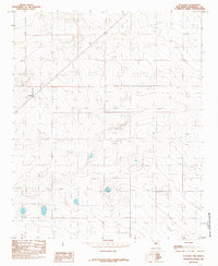
1985 Map of Delphos
USGS Topo · Published 1985About this map
Delphos sits in the high plains of Roosevelt County, captured here in the mid-1980s. This agricultural landscape in eastern New Mexico is defined by its subtle topography and the vital presence of scattered water sources, indicated by numerous Well markings throughout the quadrangle. The map reveals a land organized by the township and range system, specifically where Township 2 South and Township 3 South meet. Notable landmarks include the Roadside Park adjacent to the settlement and the distinctive depression of Alkali Flat to the northwest. This provisional survey provides a precise record of rural development and the sparse infrastructure required for ranching and farming in this arid environment before modern shifts in land use.
Find a feature on this map
8 named features on this map. Tap any name to fly to it.
Don’t see what you’re looking for? This feature index may not catch every label — zoom into the map to look around manually.
Map Details
Editions of this 1985 Delphos Map
This is the sole edition of this map. No revisions or reprints were ever made.
Other maps of this area

1954 · Clovis
USGS Topo · 1:250,000

1954 · Brownfield
USGS Topo · 1:250,000

1957 · Portales
USGS Topo · 1:62,500

1958 · Brownfield
USGS Topo · 1:250,000

1958 · Clovis
USGS Topo · 1:250,000

1962 · Brownfield
USGS Topo · 1:250,000

1972 · Dora NW
USGS Topo · 1:24,000

1972 · Dora
USGS Topo · 1:24,000

1973 · Floyd
USGS Topo · 1:24,000

1973 · Floyd SE
USGS Topo · 1:24,000