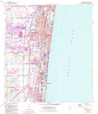
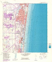
1962 Map of Delray Beach
USGS Topo · Published 1984About this map
Boynton Beach, Delray Beach, and Boca Raton anchor this coastal landscape during a period of significant growth along the Intracoastal Waterway. The map captures the transition from historic railroad-oriented town centers to sprawling residential developments like Kingsland, Sherwood Park, and Rainbow Homes. Institutional landmarks are well-documented, including Spady Sch, Carver High Sch, and the Pine Ridge Cem.
Find a feature on this map
65 named features on this map. Tap any name to fly to it.
Don’t see what you’re looking for? This feature index may not catch every label — zoom into the map to look around manually.
Map Details
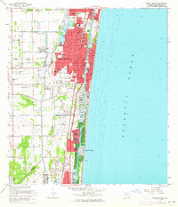
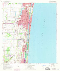
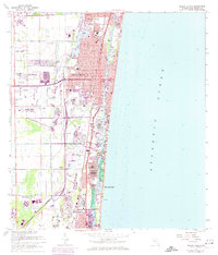
Editions of this 1962 Delray Beach Map
5 editions found
Other maps of this area

1945 · Greenacres City
USGS Topo · 1:24,000

1945 · Lake Worth
USGS Topo · 1:24,000

1946 · West Dixie Bend
USGS Topo · 1:24,000

1946 · Boca Raton
USGS Topo · 1:24,000

1947 · Delmar Farms
USGS Topo · 1:24,000

1949 · Lake Worth
USGS Topo · 1:24,000

1949 · West Dixie Bend
USGS Topo · 1:24,000

1949 · Delmar Farms
USGS Topo · 1:24,000

1950 · Boca Raton
USGS Topo · 1:24,000

1950 · Delray Beach
USGS Topo · 1:24,000