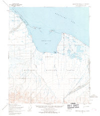
1955 Map of Demarcation Point C-1
USGS Topo · Published 1969About this map
Demarcation Bay and the surrounding coastline of the Beaufort Sea dominate this mid-century survey of the far northern reach of the Arctic National Wildlife Range. The landscape is a complex network of coastal lagoons and bights, including Pingokraluk Lagoon and Kagiluak Bight, protected from the open sea by Icy Reef. Several significant waterways, such as the Clarence River, Turner River, and Putugook Creek, flow north through the tundra toward the coast. Historical human activity is marked at the Kuluruak (Site) and the settlement of Gordon (Aban'd), both positioned near the strategic natural harbors of the bay. A single Tractor Trail provides a glimpse into the limited overland transportation available in this region, which borders the international boundary between United States and Canada.
Find a feature on this map
20 named features on this map. Tap any name to fly to it.
Don’t see what you’re looking for? This feature index may not catch every label — zoom into the map to look around manually.
Map Details
Editions of this 1955 Demarcation Point C-1 Map
2 editions found
Other maps of this area

1951 · Demarcation Point
USGS Topo · 1:250,000

1955 · Demarcation Point
USGS Topo · 1:250,000

1955 · Demarcation Point D-2
USGS Topo · 1:63,360

1955 · Demarcation Point C-2
USGS Topo · 1:63,360

1956 · Demarcation Point B-2
USGS Topo · 1:63,360
1956 · Demarcation Point B-1
USGS Topo · 1:63,360

1964 · Demarcation Point
USGS Topo · 1:250,000
2018 · Demarcation Point C-1 NW
USGS Topo · 1:25,000
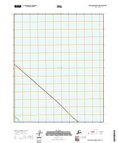
2018 · Demarcation Point D-2 OE E SW
USGS Topo · 1:25,000
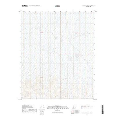
2018 · Demarcation Point C-1 SW
USGS Topo · 1:25,000