
1946 Map of Demopolis
USGS Topo · Published 1947About this map
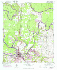
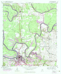
The confluence of the Tombigbee River and Black Warrior River serves as the focal point for this post-war landscape, where river commerce, rail lines, and agriculture meet. Demopolis dominates the southwestern corner, characterized by a detailed street grid and the industrial presence of the St Louis San Francisco and Southern railroads. The map captures a high density of rural institutions, including the Rosenwald Sch, reflecting the era's commitment to community infrastructure.
Find a feature on this map
45 named features on this map. Tap any name to fly to it.
Don’t see what you’re looking for? This feature index may not catch every label — zoom into the map to look around manually.
Map Details
Editions of this 1946 Demopolis Map
3 editions found
Other maps of this area

1947 · Demopolis
USGS Topo · 1:24,000

1947 · Mason Bend
USGS Topo · 1:24,000

1947 · Forkland
USGS Topo · 1:24,000

1948 · Mason Bend
USGS Topo · 1:24,000

1948 · Mc Dowell
USGS Topo · 1:24,000

1949 · Mc Dowell
USGS Topo · 1:24,000

1949 · Forkland
USGS Topo · 1:24,000

1953 · Montgomery
USGS Topo · 1:250,000

1956 · Montgomery
USGS Topo · 1:250,000

1957 · Montgomery
USGS Topo · 1:250,000