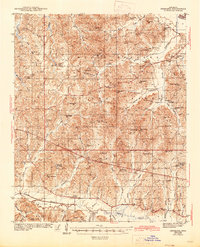
1943 Map of Denmark
USGS Topo · Published 1945About this map
Holly Springs National Forest dominates the upper half of this landscape, a terrain of ridge-and-valley topography defined by the Yocona River and its numerous tributaries. Surveyed in the early 1940s, the map reveals a rural economy heavily reliant on small community hubs and local institutions. Clusters of activity are found at Lafayette Springs and Denmark, while the surrounding countryside is dotted with a dense network of country schools such as New York Sch and Caswell Sch.
Find a feature on this map
81 named features on this map. Tap any name to fly to it.
Don’t see what you’re looking for? This feature index may not catch every label — zoom into the map to look around manually.
Map Details
Editions of this 1943 Denmark Map
3 editions found
Other maps of this area

1940 · Oxford
USGS Topo · 1:62,500

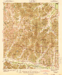
1942 · Denmark
USGS Topo · 1:62,500

1943 · Denmark
USGS Topo · 1:62,500

1943 · Oxford
USGS Topo · 1:62,500

1944 · Tyro
USGS Topo · 1:62,500

1944 · Potts Camp
USGS Topo · 1:62,500

1945 · Potts Camp
USGS Topo · 1:62,500

1949 · New Albany
USGS Topo · 1:62,500

1951 · New Albany
USGS Topo · 1:62,500

1954 · Water Valley
USGS Topo · 1:62,500