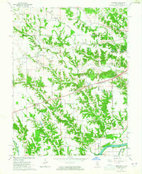
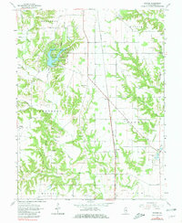
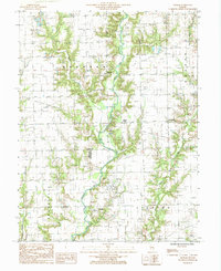
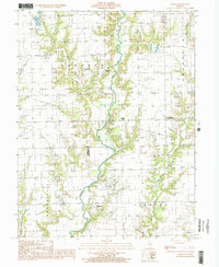
1964 Map of Dennison
USGS Topo · Published 1965This historical map portrays the area of Dennison in 1964, primarily covering Clark County as well as portions of Clark County and Indiana. Featuring a scale of 1:24000, this map provides a highly detailed snapshot of the terrain, roads, buildings, counties, and historical landmarks in the Dennison region at the time. Published in 1965, it is one of 3 known editions of this map due to revisions or reprints.
Find a feature on this map
41 named features on this map. Tap any name to fly to it.
Don’t see what you’re looking for? This feature index may not catch every label — zoom into the map to look around manually.
Map Details
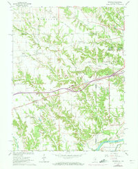
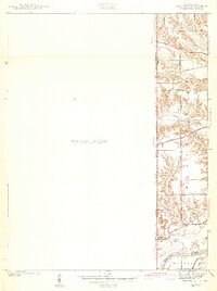
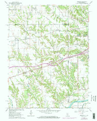
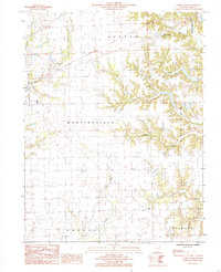
Editions of this 1964 Dennison Map
3 editions found
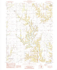
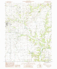
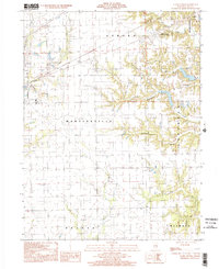
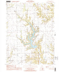
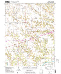
Historical Maps of Dennison Through Time
12 maps found
1942 Dennison
Clark County, IL
1964 Dennison
Clark County, IL
1964 Snyder
Clark County, IL
1984 Clark Center
Clark County, IL
1984 Clarksville
Clark County, IL
1984 Westfield East
Clark County, IL
1985 Moriah
Clark County, IL
1998 Clark Center
Clark County, IL
1998 Clarksville
Clark County, IL
1998 Dennison
Clark County, IL
1998 Moriah
Clark County, IL
1998 Westfield East
Clark County, IL