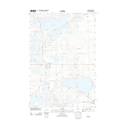
2013 Map of Dent
USGS Topo · Published 2013About this map
The village of Dent and the nearby community of Richville anchor this 2013 survey of Otter Tail County's lake country. This landscape is defined by an intricate network of glacial water bodies, ranging from the expansive Marion Lake and Little McDonald Lake to smaller basins like Pelewski Lake and Tee Lake. The map details the local road network connecting these waters, including MN-108 and Co HWY-35, which provide access to seasonal sites like Frank's Campground and Kurtz Family Campground. Genealogists and local historians will find significant value in the documentation of several local burial grounds, including Immanuel Cem, Sacred Heart Cem, and Pleasant Hill Cem. The area maintains its agricultural and recreational character, evidenced by the presence of the Sabbia Dairy Farm and the Aerovilla Airport to the north. These features highlight a region where permanent settlements, family farms, and lakeside retreats coexist within a complex hydrographic system.
Find a feature on this map
95 named features on this map. Tap any name to fly to it.
Don’t see what you’re looking for? This feature index may not catch every label — zoom into the map to look around manually.
Map Details
Editions of this 2013 Dent Map
This is the sole edition of this map. No revisions or reprints were ever made.
Other maps of this area

1912 · Vergas
USGS Topo · 1:62,500

1912 · Battle Lake
USGS Topo · 1:62,500

1914 · Battle Lake
USGS Topo · 1:62,500

1915 · Underwood
USGS Topo · 1:62,500

1915 · Perham
USGS Topo · 1:62,500

1915 · Vergas
USGS Topo · 1:62,500

1953 · Brainerd
USGS Topo · 1:250,000

1957 · Brainerd
USGS Topo · 1:250,000

1958 · Brainerd
USGS Topo · 1:250,000

1965 · Brainerd
USGS Topo · 1:250,000