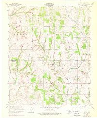
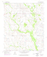
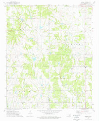
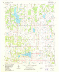
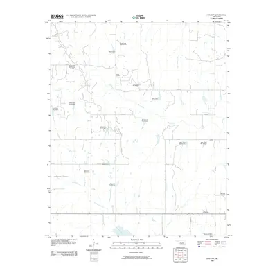
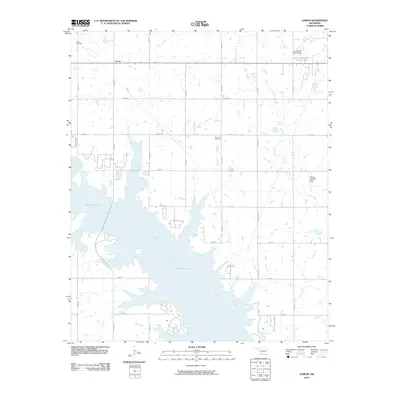
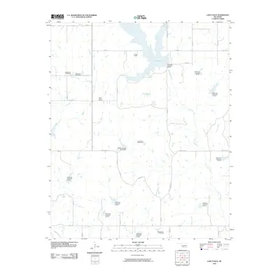
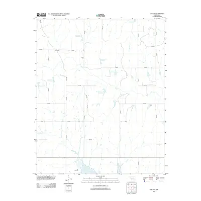
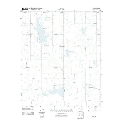
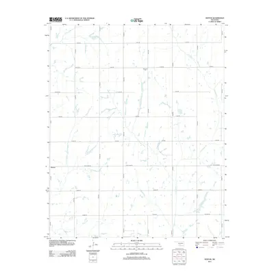
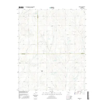
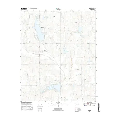
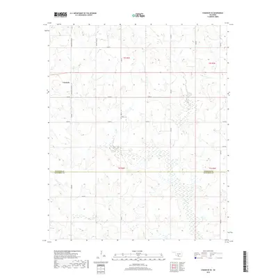
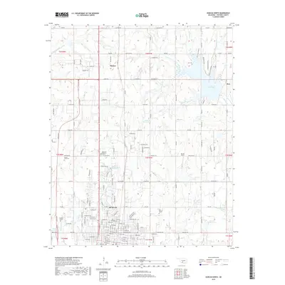
1956 Map of Denton
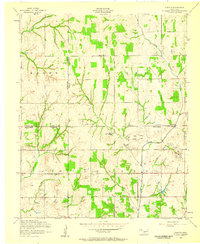
USGS Topo · Published 1976About this map
Denton stands at the intersection of local history and industry in this mid-century Oklahoma landscape where Stephens, Comanche, and Grady counties meet. The small settlement and surrounding rural landscape are defined by a network of waterways including Little Beaver Creek, Cottonwood Creek, and Armstrong Creek. Local life is anchored by the Woodlawn Church and its nearby Cemetery, as well as the Hurley Grove Community House located in the Brown township area.
Find a feature on this map
21 named features on this map. Tap any name to fly to it.
Don’t see what you’re looking for? This feature index may not catch every label — zoom into the map to look around manually.
Map Details
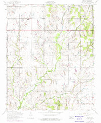
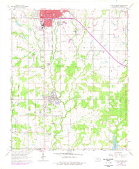
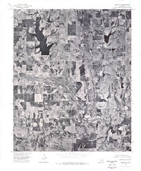
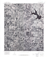
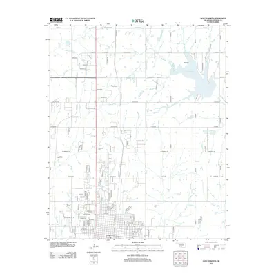
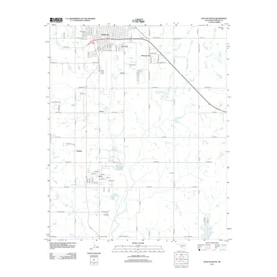
Editions of this 1956 Denton Map
2 editions found
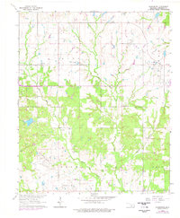
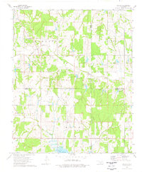
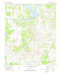
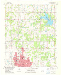
Historical Maps of Central High Through Time
70 maps found
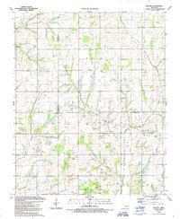
1956 Denton
Stephens County, OK
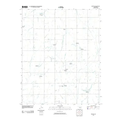
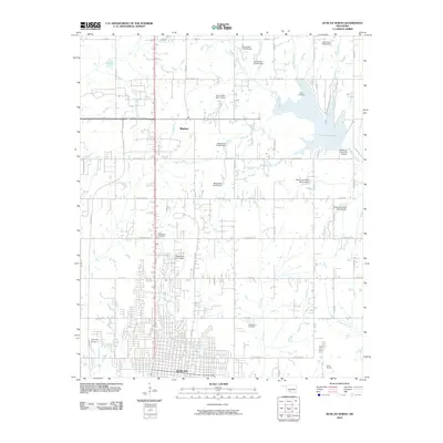
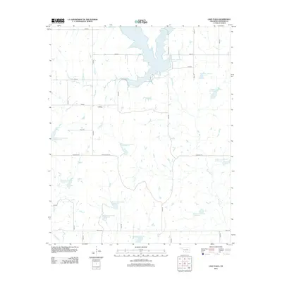
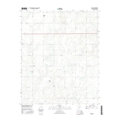
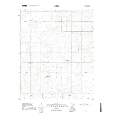
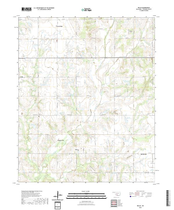
1956 Nellie
Stephens County, OK
1963 Harrisburg
Stephens County, OK
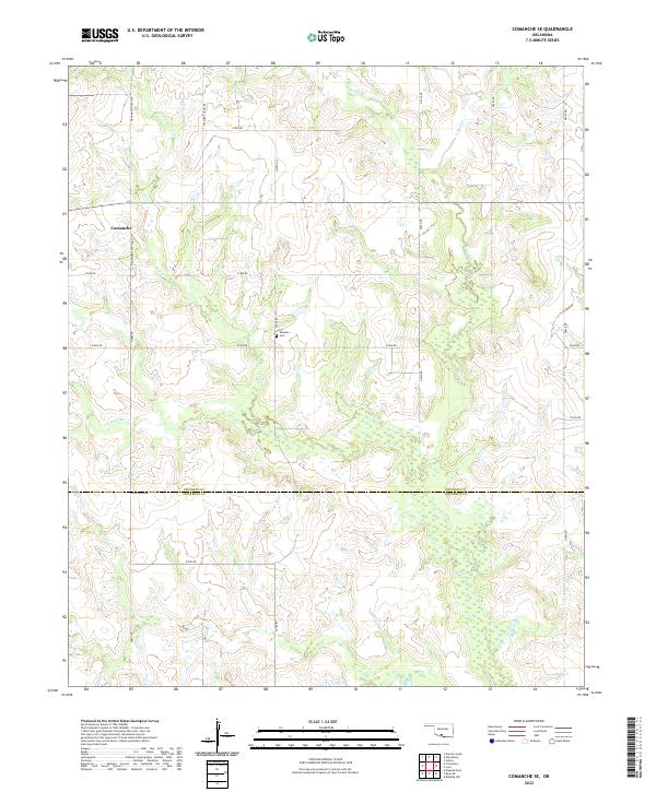
1964 Comanche SE
Stephens County, OK
1964 Duncan South
Stephens County, OK
1974 Cox City
Stephens County, OK
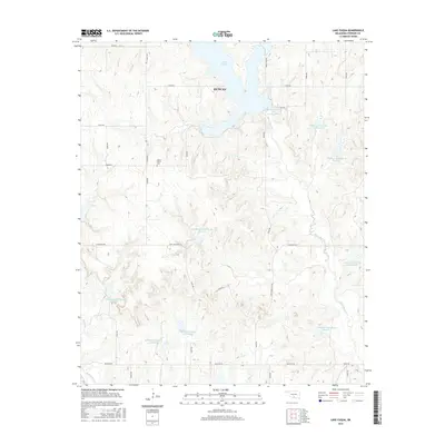
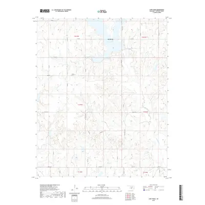
1974 Lake Fuqua
Stephens County, OK
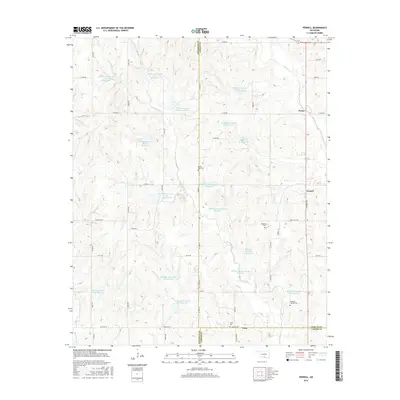
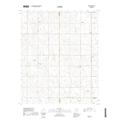
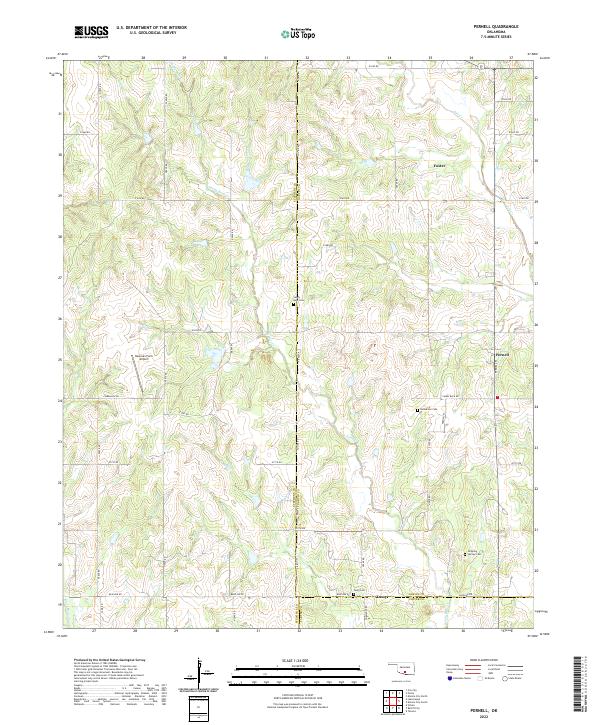
1974 Pernell
Stephens County, OK
1975 Marlow SE
Stephens County, OK
1975 Marlow SW
Stephens County, OK
1982 Duncan North
Stephens County, OK
1982 Hope
Stephens County, OK

1987 Corum
Stephens County, OK
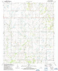
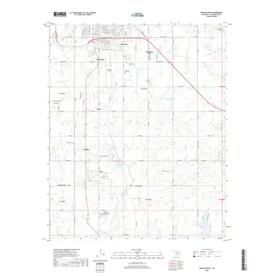
1991 Denton
Stephens County, OK
1991 Nellie
Stephens County, OK
2009 Comanche SE
Stephens County, OK
2009 Cox City
Stephens County, OK
2009 Denton
Stephens County, OK
2009 Duncan South
Stephens County, OK
2009 Nellie
Stephens County, OK
2010 Corum
Stephens County, OK
2010 Duncan North
Stephens County, OK
2010 Harrisburg
Stephens County, OK
2010 Hope
Stephens County, OK
2010 Lake Fuqua
Stephens County, OK
2010 Pernell
Stephens County, OK
2012 Comanche SE
Stephens County, OK
2012 Corum
Stephens County, OK
2012 Cox City
Stephens County, OK
2012 Duncan North
Stephens County, OK
2012 Duncan South
Stephens County, OK
2012 Harrisburg
Stephens County, OK
2012 Hope
Stephens County, OK
2012 Lake Fuqua
Stephens County, OK
2012 Nellie
Stephens County, OK
2012 Pernell
Stephens County, OK
2013 Denton
Stephens County, OK
2016 Comanche SE
Stephens County, OK
2016 Corum
Stephens County, OK
2016 Cox City
Stephens County, OK
2016 Denton
Stephens County, OK
2016 Duncan North
Stephens County, OK
2016 Duncan South
Stephens County, OK
2016 Harrisburg
Stephens County, OK
2016 Hope
Stephens County, OK
2016 Lake Fuqua
Stephens County, OK
2016 Nellie
Stephens County, OK
2016 Pernell
Stephens County, OK
2018 Comanche SE
Stephens County, OK
2018 Corum
Stephens County, OK
2018 Cox City
Stephens County, OK
2018 Denton
Stephens County, OK
2018 Duncan North
Stephens County, OK
2018 Duncan South
Stephens County, OK
2018 Harrisburg
Stephens County, OK
2018 Hope
Stephens County, OK
2018 Lake Fuqua
Stephens County, OK
2018 Nellie
Stephens County, OK
2018 Pernell
Stephens County, OK
2022 Comanche SE
Stephens County, OK
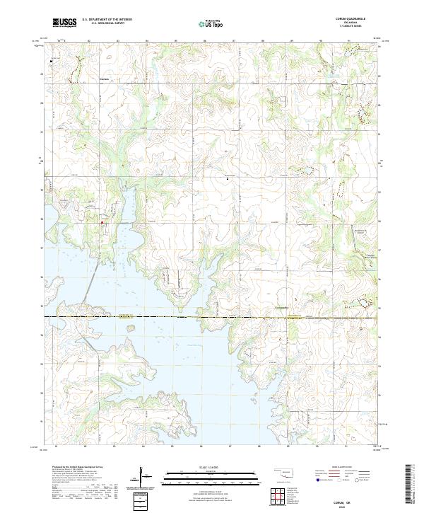
2022 Corum
Stephens County, OK
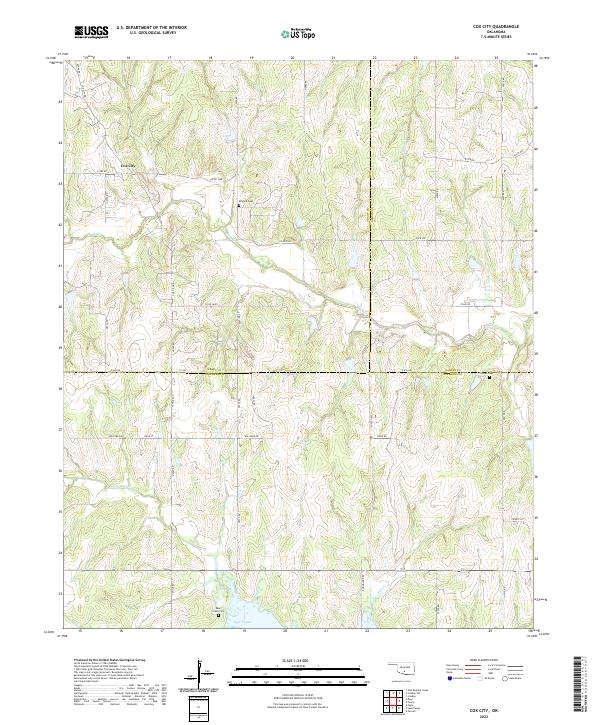
2022 Cox City
Stephens County, OK
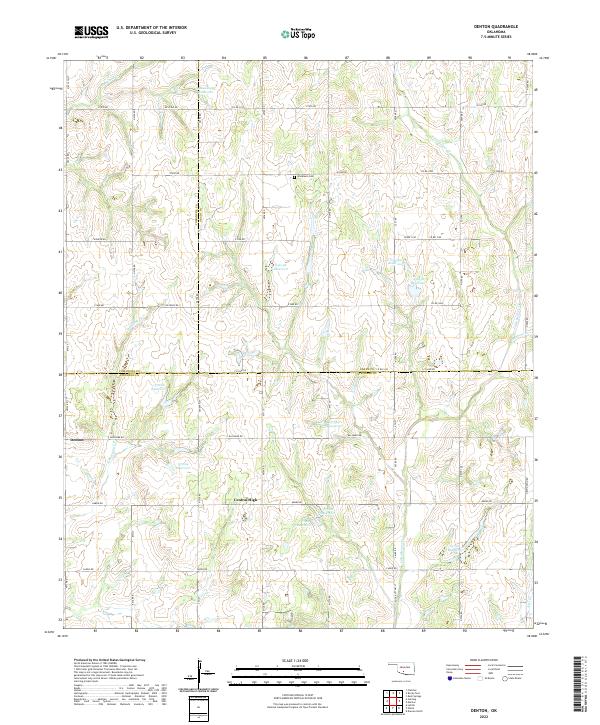
2022 Denton
Stephens County, OK
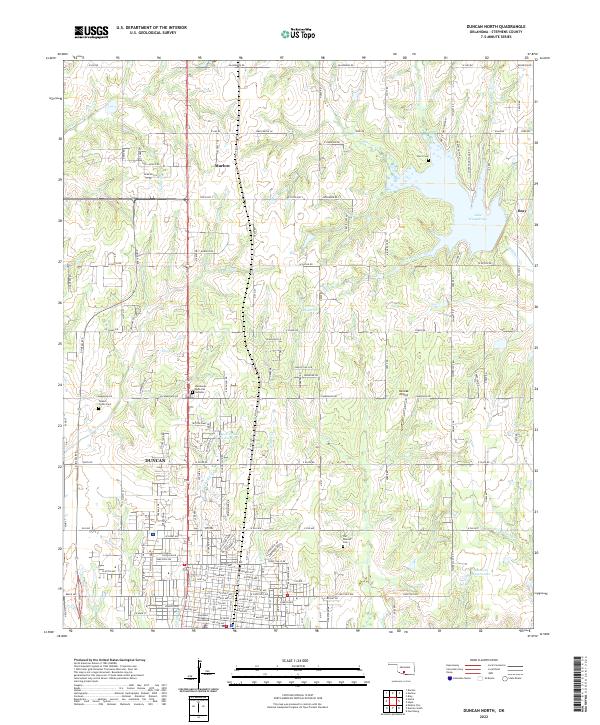
2022 Duncan North
Stephens County, OK
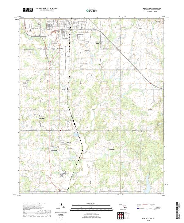
2022 Duncan South
Stephens County, OK
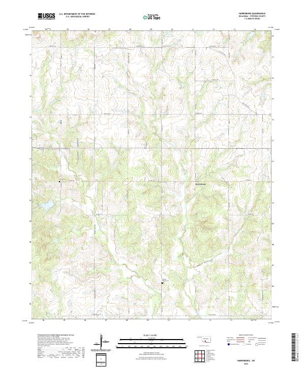
2022 Harrisburg
Stephens County, OK
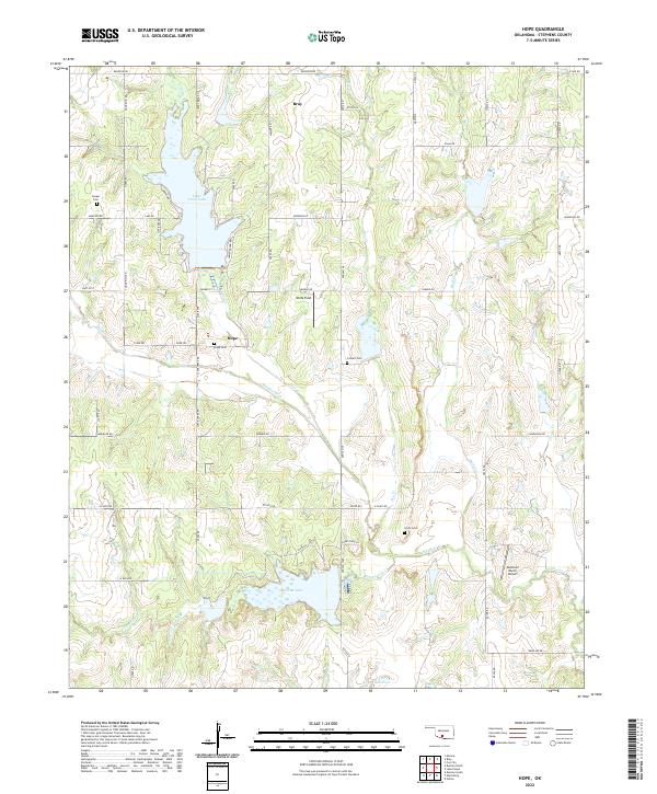
2022 Hope
Stephens County, OK
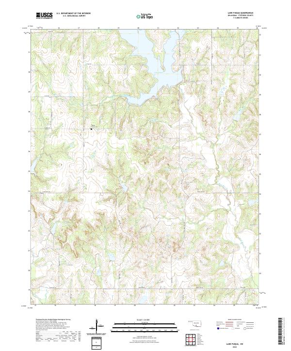
2022 Lake Fuqua
Stephens County, OK
2022 Nellie
Stephens County, OK
2022 Pernell
Stephens County, OK