
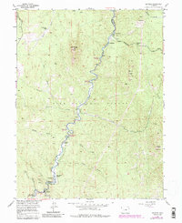
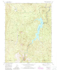
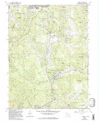
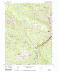
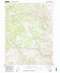
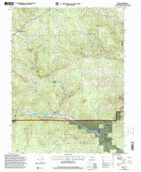
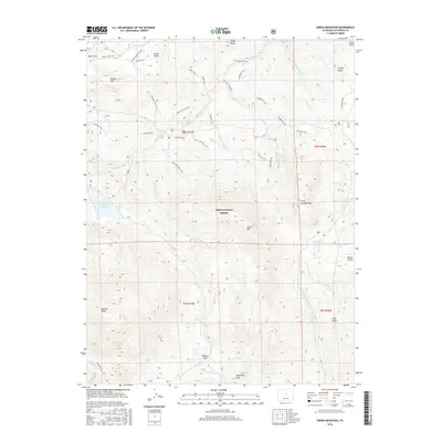
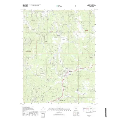
1983 Map of Denver West
USGS Topo · Published 1983About this map
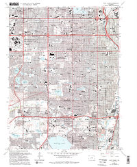
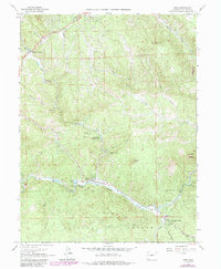
Mount Evans and the soaring peaks of the Front Range dominate the western half of this 1983 survey, while the eastern edge documents the rapid suburban expansion of the Denver metropolitan area. The transition from the high-altitude wilderness of the Roosevelt National Forest and Arapaho National Forest to the industrial and residential corridors of Arvada, Lakewood, and Westminster is sharply defined by the Dakota Hogback. This map records critical infrastructure of the early 1980s, including the Rocky Flats Plant and the sprawling Federal Center. Along the mountain corridors, historical mining towns like Idaho Springs and Silver Plume are shown situated along the I-70 and Us-6 routes, while the Moffat Tunnel and Denver and Rio Grande Western railroad indicate the vital transportation arteries through the continental divide.
Find a feature on this map
218 named features on this map. Tap any name to fly to it.
Don’t see what you’re looking for? This feature index may not catch every label — zoom into the map to look around manually.
Map Details
Editions of this 1983 Denver West Map
2 editions found
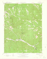
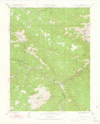
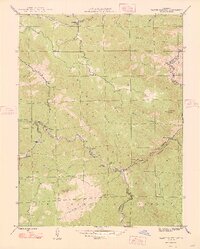
Historical Maps of Lakewood Through Time
66 maps found

1906 Blackhawk
Jefferson County, CO

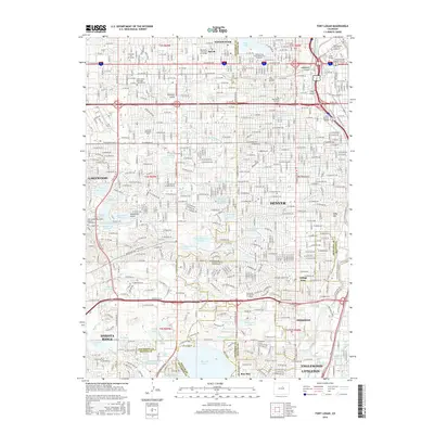
1941 Fort Logan
Jefferson County, CO

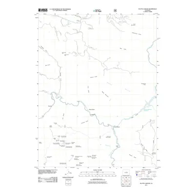
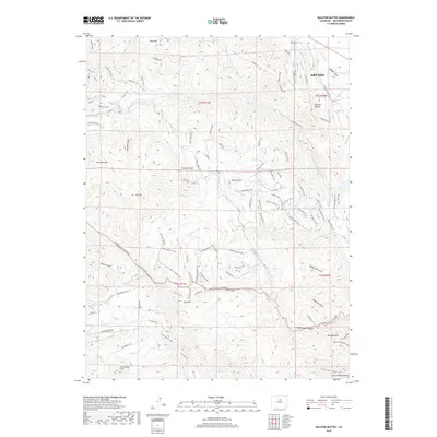
1942 Ralston Buttes
Jefferson County, CO

1944 Ralston Buttes
Jefferson County, CO
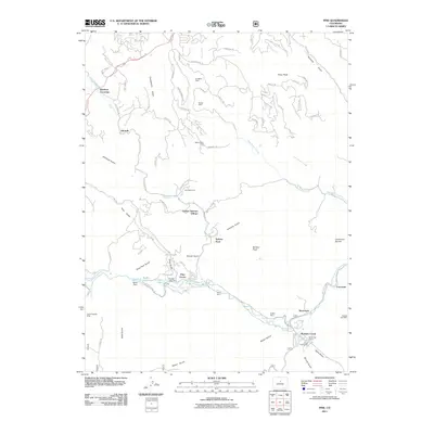
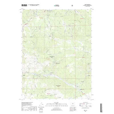
1945 Pine
Jefferson County, CO
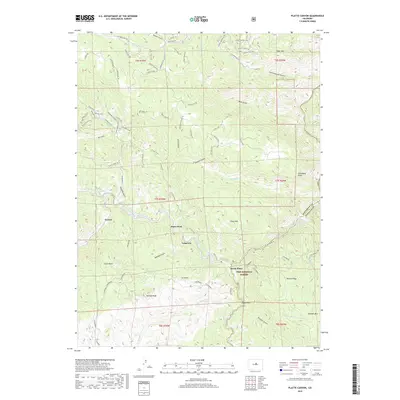
1945 Platte Canyon
Jefferson County, CO

1948 Fort Logan
Jefferson County, CO

1948 Pine
Jefferson County, CO
1948 Platte Canyon
Jefferson County, CO

1948 Ralston Buttes
Jefferson County, CO
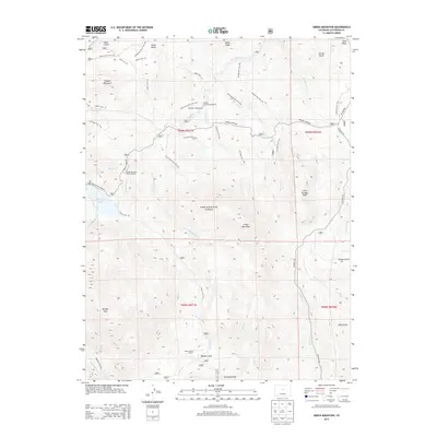
1954 Deckers
Jefferson County, CO

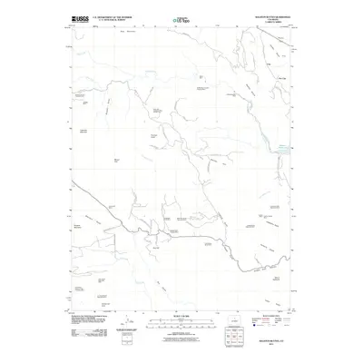
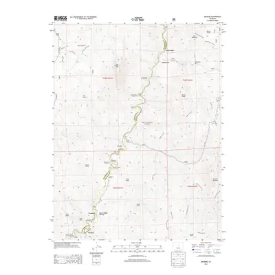
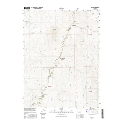
1954 Green Mountain
Jefferson County, CO
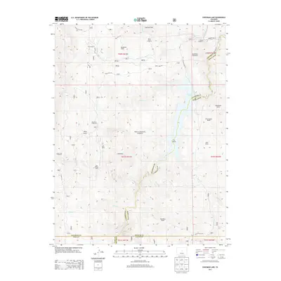
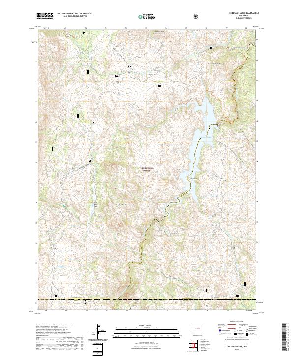
1956 Cheesman Lake
Jefferson County, CO

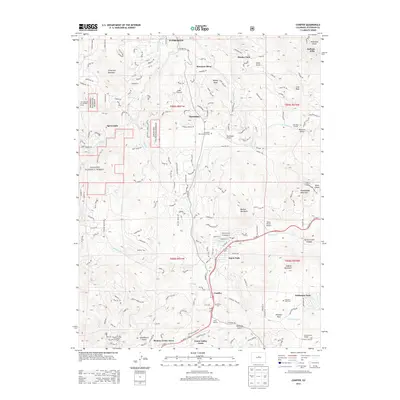
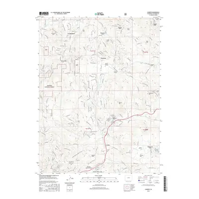
1957 Conifer
Jefferson County, CO

1957 Fort Logan
Jefferson County, CO
1965 Conifer
Jefferson County, CO
1965 Fort Logan
Jefferson County, CO
1965 Pine
Jefferson County, CO
1965 Platte Canyon
Jefferson County, CO
1965 Ralston Buttes
Jefferson County, CO
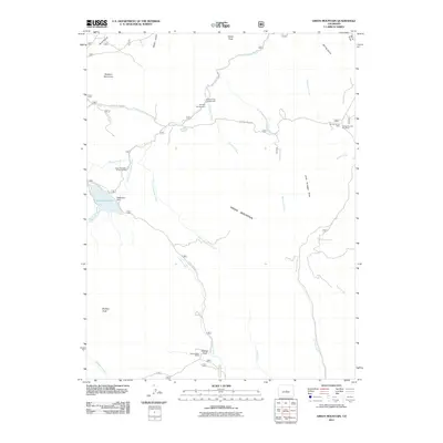
1983 Denver West
Jefferson County, CO

1994 Cheesman Lake
Jefferson County, CO

1994 Deckers
Jefferson County, CO
1994 Green Mountain
Jefferson County, CO
1994 Pine
Jefferson County, CO

1994 Platte Canyon
Jefferson County, CO
2011 Cheesman Lake
Jefferson County, CO
2011 Conifer
Jefferson County, CO
2011 Deckers
Jefferson County, CO

2011 Fort Logan
Jefferson County, CO
2011 Green Mountain
Jefferson County, CO
2011 Pine
Jefferson County, CO
2011 Platte Canyon
Jefferson County, CO
2011 Ralston Buttes
Jefferson County, CO
2013 Cheesman Lake
Jefferson County, CO
2013 Conifer
Jefferson County, CO
2013 Deckers
Jefferson County, CO

2013 Fort Logan
Jefferson County, CO
2013 Green Mountain
Jefferson County, CO
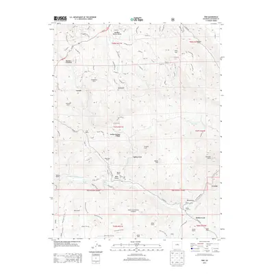
2013 Pine
Jefferson County, CO
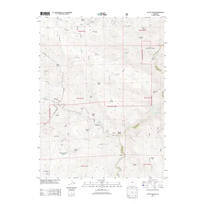
2013 Platte Canyon
Jefferson County, CO
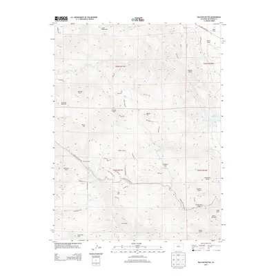
2013 Ralston Buttes
Jefferson County, CO
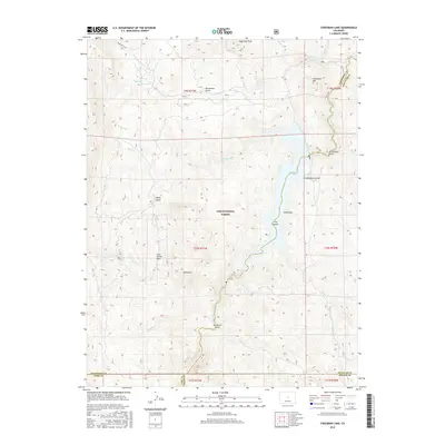
2016 Cheesman Lake
Jefferson County, CO
2016 Conifer
Jefferson County, CO
2016 Deckers
Jefferson County, CO
2016 Fort Logan
Jefferson County, CO
2016 Green Mountain
Jefferson County, CO
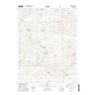
2016 Pine
Jefferson County, CO
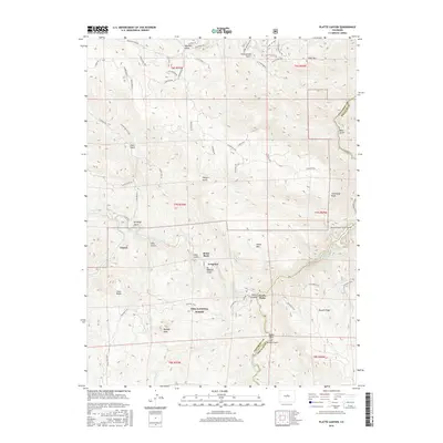
2016 Platte Canyon
Jefferson County, CO
2016 Ralston Buttes
Jefferson County, CO
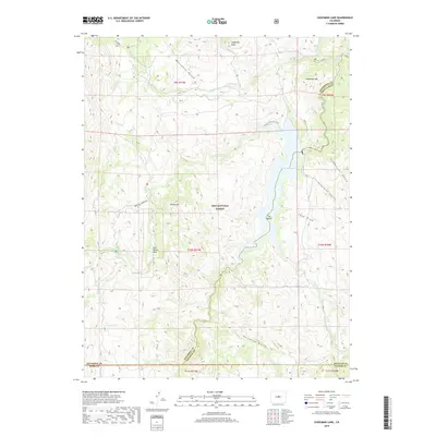
2019 Cheesman Lake
Jefferson County, CO
2019 Conifer
Jefferson County, CO
2019 Deckers
Jefferson County, CO
2019 Fort Logan
Jefferson County, CO
2019 Green Mountain
Jefferson County, CO
2019 Pine
Jefferson County, CO
2019 Platte Canyon
Jefferson County, CO
2019 Ralston Buttes
Jefferson County, CO
2022 Cheesman Lake
Jefferson County, CO
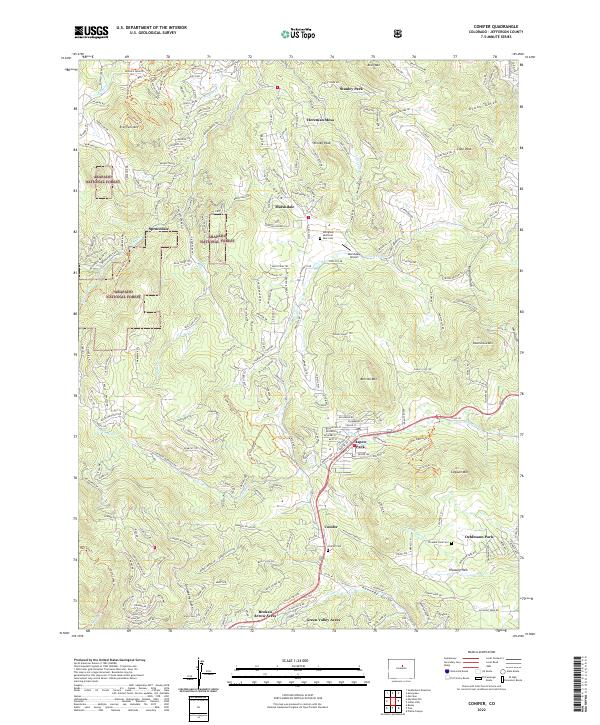
2022 Conifer
Jefferson County, CO
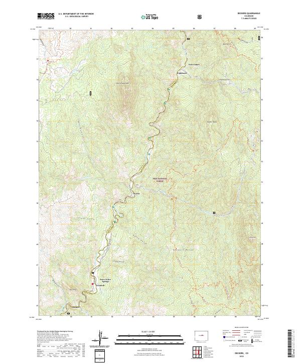
2022 Deckers
Jefferson County, CO

2022 Fort Logan
Jefferson County, CO
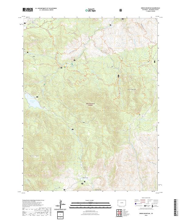
2022 Green Mountain
Jefferson County, CO

2022 Pine
Jefferson County, CO

2022 Platte Canyon
Jefferson County, CO
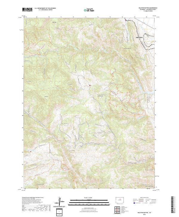
2022 Ralston Buttes
Jefferson County, CO