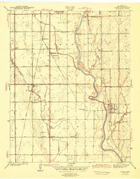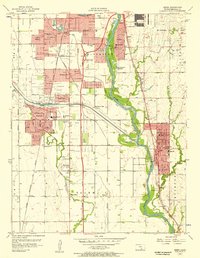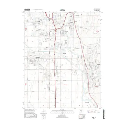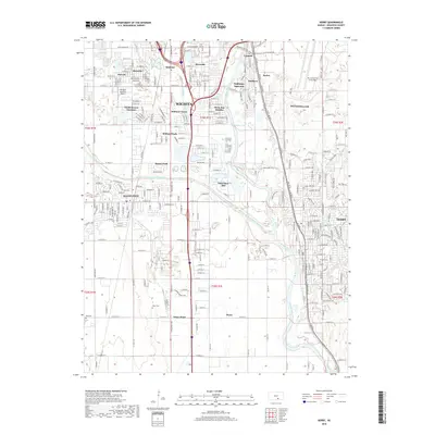
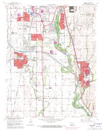
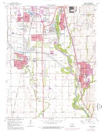
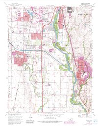
1960 Map of Derby
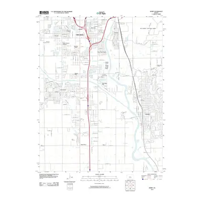
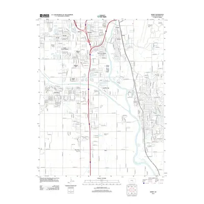
USGS Topo · Published 1961About this map
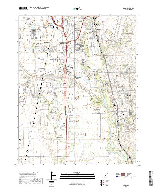
The Arkansas River corridor south of Wichita shows a landscape in transition during the early 1960s, where traditional prairie farming meets rapid suburban and military expansion. The bustling city of Derby and the growing community of Haysville dominate the urban footprint, while the massive Mc Connell Air Force Base establishes a major military presence on the eastern edge. Along the river, industrial activities are evident through numerous sandpits and a prominent Oil Field, while the Kansas Turnpike and the Chicago Rock Island and Pacific railroad provide the vital transit links defining the region's economy.
Find a feature on this map
49 named features on this map. Tap any name to fly to it.
Don’t see what you’re looking for? This feature index may not catch every label — zoom into the map to look around manually.
Map Details
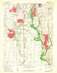
Editions of this 1960 Derby Map
4 editions found
Historical Maps of Wichita Through Time
8 maps found