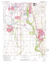
1960 Map of Derby
USGS Topo · Published 1976About this map
The Arkansas River valley south of Wichita reveals a mid-century landscape of rapid suburban expansion and critical infrastructure. The 1960s and 70s brought significant change to this corridor, as seen in the growth of Derby and Haysville, alongside smaller residential developments like Glenville, Riverside, and Mona Kay Heights. This era is defined by the integration of large-scale public works into the landscape, notably the Kansas Turnpike and the engineering of the Wichita Valley Center Floodway to manage the region's drainage.
Find a feature on this map
50 named features on this map. Tap any name to fly to it.
Don’t see what you’re looking for? This feature index may not catch every label — zoom into the map to look around manually.
Map Details
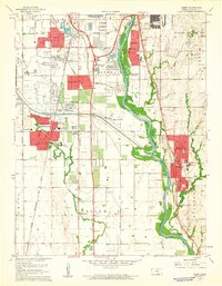
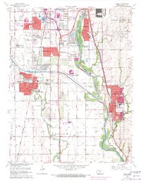
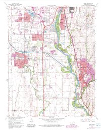
Editions of this 1960 Derby Map
4 editions found
Other maps of this area

1889 · Wichita
USGS Topo · 1:125,000

1890 · Wellington
USGS Topo · 1:125,000

1894 · Wichita
USGS Topo · 1:125,000

1943 · Wichita West
USGS Topo · 1:31,680

1943 · Wichita East
USGS Topo · 1:31,680

1943 · Derby
USGS Topo · 1:31,680

1943 · Bayneville
USGS Topo · 1:31,680

1945 · Andover
USGS Topo · 1:31,680

1950 · Bayneville
USGS Topo · 1:24,000

1955 · Belle Plaine
USGS Topo · 1:24,000