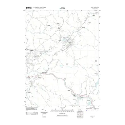
2010 Map of Derry
USGS Topo · Published 2010About this map
Derry and its surrounding coal-country neighborhoods anchor this 2010 study of Westmoreland County. The landscape is defined by the winding course of Loyalhanna Creek as it carves through the Loyalhanna Gorge, passing the natural landmark of Buttermilk Falls near Idlepark. The map documents a dense network of smaller settlements that grew around the region's industrial past, including Bradenville, Peanut, and New Derry.
Find a feature on this map
112 named features on this map. Tap any name to fly to it.
Don’t see what you’re looking for? This feature index may not catch every label — zoom into the map to look around manually.
Map Details
Editions of this 2010 Derry Map
This is the sole edition of this map. No revisions or reprints were ever made.
Other maps of this area

1900 · Latrobe
USGS Topo · 1:62,500

1902 · Latrobe
USGS Topo · 1:62,500

1903 · Latrobe
USGS Topo · 1:62,500

1913 · Somerset
USGS Topo · 1:62,500

1915 · Somerset
USGS Topo · 1:62,500

1920 · New Florence
USGS Topo · 1:62,500

1921 · New Florence
USGS Topo · 1:48,000

1922 · Donegal
USGS Topo · 1:62,500

1922 · New Florence
USGS Topo · 1:62,500

1935 · Donegal
USGS Topo · 1:62,500