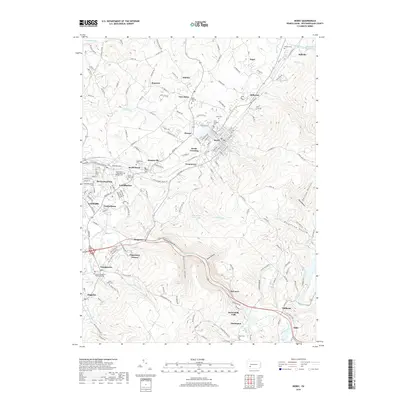
2019 Map of Derry
USGS Topo · Published 2019About this map
Chestnut Ridge dominates the eastern landscape of this Westmoreland County region, where the Loyalhanna Creek carves the dramatic Loyalhanna Gorge. This corridor serves as a primary transportation artery, followed closely by the Norfolk Southern rail line and the historic highway route through McCance and Kingston. The settlement pattern reflects Pennsylvania's industrial and coal heritage, with small communities like Peanut, Atlantic, and Superior clustered around the rail network and valley floors.
Find a feature on this map
170 named features on this map. Tap any name to fly to it.
Don’t see what you’re looking for? This feature index may not catch every label — zoom into the map to look around manually.
Map Details
Editions of this 2019 Derry Map
This is the sole edition of this map. No revisions or reprints were ever made.
Other maps of this area

1900 · Latrobe
USGS Topo · 1:62,500

1902 · Latrobe
USGS Topo · 1:62,500

1903 · Latrobe
USGS Topo · 1:62,500

1913 · Somerset
USGS Topo · 1:62,500

1915 · Somerset
USGS Topo · 1:62,500

1920 · New Florence
USGS Topo · 1:62,500

1921 · New Florence
USGS Topo · 1:48,000

1922 · Donegal
USGS Topo · 1:62,500

1922 · New Florence
USGS Topo · 1:62,500

1935 · Donegal
USGS Topo · 1:62,500