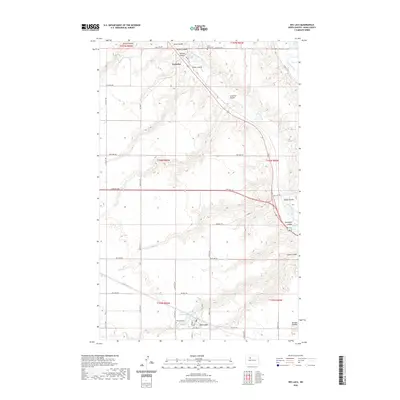
2020 Map of Des Lacs
USGS Topo · Published 2020About this map
Des Lacs and Foxholm anchor this Ward County landscape where the river valleys of the Great Plains converge. The drainage system is remarkably intricate, defined by a network of steep-sided ravines including Lonetree Coulee, Tasker Coulee, and Kandolph Coulee that feed into the Des Lacs River and the Souris River. This complex hydrology dictated the settlement patterns of the region, with the local infrastructure hugging the higher ground between the coulees.
Find a feature on this map
47 named features on this map. Tap any name to fly to it.
Don’t see what you’re looking for? This feature index may not catch every label — zoom into the map to look around manually.
Map Details
Editions of this 2020 Des Lacs Map
This is the sole edition of this map. No revisions or reprints were ever made.
Other maps of this area

1928 · Minot
USGS Topo · 1:62,500

1948 · Burlington
USGS Topo · 1:24,000

1948 · Burlington
USGS Topo · 1:62,500

1948 · Minot NW
USGS Topo · 1:24,000

1949 · Burlington NW
USGS Topo · 1:24,000

1949 · Minot NW
USGS Topo · 1:24,000

1949 · Carpio NE
USGS Topo · 1:24,000

1949 · Carpio
USGS Topo · 1:24,000

1950 · Des Lacs
USGS Topo · 1:24,000
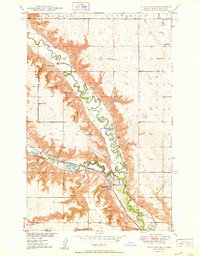
1950 · Burlington
USGS Topo · 1:24,000