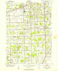
1952 Map of Detroit Wayne Airport
USGS Topo · Published 1954About this map
Detroit-Wayne Airport dominates the northern landscape of this mid-century survey, surrounded by the rapidly developing townships of Romulus, Taylor, and Brownstown. The map reveals a transition from rural farmsteads to suburban infrastructure, evidenced by the dense network of drainage systems like the Sexton and Kilfoil Drain and Frank and Poet Drain that crisscross the flat terrain. This era of growth is further highlighted by the Detroit Expressway and the commercial activity along Telegraph Road.
Find a feature on this map
70 named features on this map. Tap any name to fly to it.
Don’t see what you’re looking for? This feature index may not catch every label — zoom into the map to look around manually.
Map Details
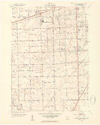
Editions of this 1952 Detroit Wayne Airport Map
2 editions found
Other maps of this area

1905 · Wayne
USGS Topo · 1:62,500

1905 · Detroit
USGS Topo · 1:62,500

1906 · Wyandotte
USGS Topo · 1:62,500

1906 · Romulus
USGS Topo · 1:62,500

1912 · Wyandotte
USGS Topo · 1:62,500

1912 · Wayne
USGS Topo · 1:62,500

1918 · Detroit
USGS Topo · 1:62,500

1924 · Detroit
USGS Topo · 1:62,500

1928 · Romulus
USGS Topo · 1:62,500

1929 · Wyandotte
USGS Topo · 1:62,500