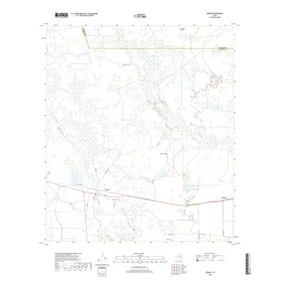
2019 Map of Devers
USGS Topo · Published 2019About this map
Devers serves as the central hub of this coastal prairie landscape, where the transition between cultivated fields and wet lowlands is marked by an intricate network of drainages. The settlement's layout is defined by the intersection of major routes like FM 1009 and local corridors such as Rice Belt Rd, reflecting the area's agricultural foundations. South of the town center, Sahara Cem provides a point of genealogical interest near the edges of the prairie.
Find a feature on this map
28 named features on this map. Tap any name to fly to it.
Don’t see what you’re looking for? This feature index may not catch every label — zoom into the map to look around manually.
Map Details
Editions of this 2019 Devers Map
This is the sole edition of this map. No revisions or reprints were ever made.
Other maps of this area

1943 · Whites Bayou
USGS Topo · 1:24,000

1943 · Liberty
USGS Topo · 1:125,000

1945 · Nolte
USGS Topo · 1:31,680

1950 · Houston
USGS Topo · 1:250,000

1954 · Beaumont
USGS Topo · 1:250,000

1955 · Daisetta
USGS Topo · 1:62,500

1955 · Sour Lake
USGS Topo · 1:62,500

1956 · Houston
USGS Topo · 1:250,000

1957 · Beaumont
USGS Topo · 1:250,000

1961 · Shiloh
USGS Topo · 1:24,000