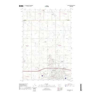
2017 Map of Dickinson North
USGS Topo · Published 2017About this map
Dickinson serves as the focal point of this Stark County landscape, shown here as the city expanded northward toward the Green River. The presence of Dickinson State Univ and established local landmarks like Saint Patricks Cem and Saint Wenceslaus Cem reflect the community's mid-20th-century development and growth. The terrain is defined by prominent elevations such as Camels Butte and Seventeen Butte, which rise above the surrounding plains.
Find a feature on this map
81 named features on this map. Tap any name to fly to it.
Don’t see what you’re looking for? This feature index may not catch every label — zoom into the map to look around manually.
Map Details
Editions of this 2017 Dickinson North Map
This is the sole edition of this map. No revisions or reprints were ever made.
Other maps of this area

1953 · Dickinson
USGS Topo · 1:250,000

1953 · Watford City
USGS Topo · 1:250,000

1957 · Dickinson
USGS Topo · 1:250,000

1957 · Watford City
USGS Topo · 1:250,000

1959 · Dickinson North
USGS Topo · 1:24,000

1959 · Dickinson South
USGS Topo · 1:24,000

1959 · Lehigh
USGS Topo · 1:24,000

1962 · Davis Buttes
USGS Topo · 1:24,000

1967 · Watford City
USGS Topo · 1:250,000

1973 · Manning SE
USGS Topo · 1:24,000