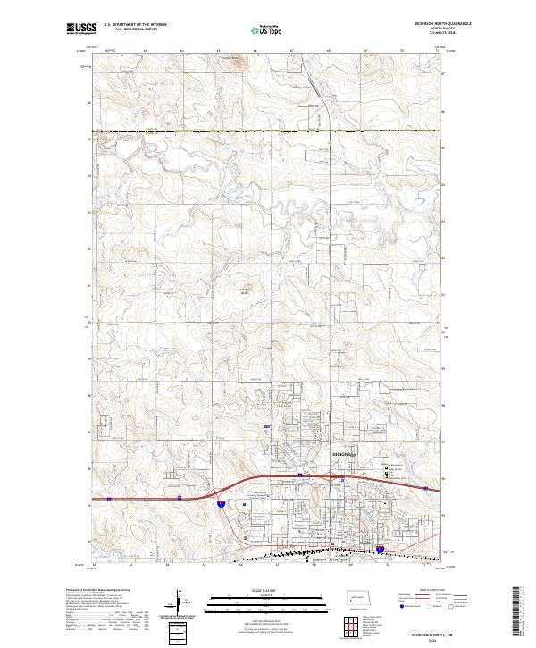
2024 Map of Dickinson North
USGS Topo · Published 2024About this map
The northern edge of Dickinson serves as the focal point of this landscape, where urban infrastructure meets the vast open plains of North Dakota. The city's northern expansion is evident in the presence of educational and civic institutions like Dickinson State University and the Stark County Courthouse. Local history and genealogy are well-represented by several significant sites on the city’s periphery, including Saint Wenceslaus Cem, Dickinson Cem, and the Dickinson Mausoleum.
Find a feature on this map
109 named features on this map. Tap any name to fly to it.
Don’t see what you’re looking for? This feature index may not catch every label — zoom into the map to look around manually.
Map Details
Editions of this 2024 Dickinson North Map
This is the sole edition of this map. No revisions or reprints were ever made.
Other maps of this area

1953 · Dickinson
USGS Topo · 1:250,000

1953 · Watford City
USGS Topo · 1:250,000

1957 · Dickinson
USGS Topo · 1:250,000

1957 · Watford City
USGS Topo · 1:250,000

1959 · Dickinson North
USGS Topo · 1:24,000

1959 · Dickinson South
USGS Topo · 1:24,000

1959 · Lehigh
USGS Topo · 1:24,000

1962 · Davis Buttes
USGS Topo · 1:24,000

1967 · Watford City
USGS Topo · 1:250,000

1973 · Manning SE
USGS Topo · 1:24,000