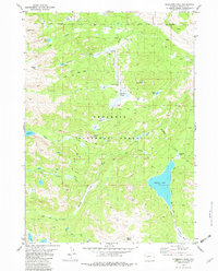
1981 Map of Dickinson Park
USGS Topo · Published 1982About this map
Shoshone National Forest encompasses this high-altitude landscape in the Wind River Range, where the Wind River Indian Reservation Boundary defines the northern and eastern reaches of the sheet. The terrain is characterized by a complex network of glacial basins and water systems, most notably the expansive Shoshone Lake and the headwaters of the Agie Popo River. A Guard Sta and nearby Campground at Dickinson Park serve as the primary human touchpoints in an area otherwise dominated by ancient routes like the Bears Ears Trail and North Fork Trail. This 1981 survey documents the hydrological importance of the region, showing how Dickinson Creek and Smith Lake Creek feed into larger drainages. Prominent landmarks such as Dishpan Butte and Mount Chevo anchor the southern elevations, while Cyclone Basin provides a natural catchment above the lake.
Find a feature on this map
45 named features on this map. Tap any name to fly to it.
Don’t see what you’re looking for? This feature index may not catch every label — zoom into the map to look around manually.
Map Details
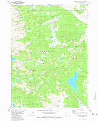
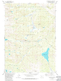
Editions of this 1981 Dickinson Park Map
3 editions found
Other maps of this area

1937 · Moccasin Lake
USGS Topo · 1:48,000

1943 · Moccasin Lake
USGS Topo · 1:62,500

1952 · Wind River
USGS Topo · 1:24,000

1953 · Sweetwater Gap
USGS Topo · 1:24,000

1953 · Cony Mountain
USGS Topo · 1:24,000

1953 · Mount Arter
USGS Topo · 1:24,000

1955 · Lander
USGS Topo · 1:250,000

1958 · Lander
USGS Topo · 1:250,000

1961 · Lander
USGS Topo · 1:250,000
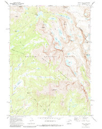
1969 · Temple Peak
USGS Topo · 1:24,000