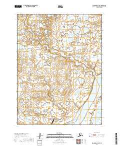
2019 Map of Dillingham A-3 NE
USGS Topo · Published 2019About this map
The Kvichak River dominates the southeastern corner of this landscape in the Lake and Peninsula Borough, serving as a vital waterway in the Bristol Bay watershed. The terrain is characterized by a dense network of wetlands and small lakes, through which Yellow Cr and Levelock Cr meander toward the larger river system. Near the southern edge of the sheet, the Levelock Airport stands as a critical transportation link for this isolated region, reflecting the logistical importance of aviation in rural Alaska where road networks are absent. The map illustrates a low-lying, water-dominant environment where the shifting paths of creeks and the vast expanse of marshland define the local geography.
Find a feature on this map
8 named features on this map. Tap any name to fly to it.
Don’t see what you’re looking for? This feature index may not catch every label — zoom into the map to look around manually.
Map Details
Editions of this 2019 Dillingham A-3 NE Map
This is the sole edition of this map. No revisions or reprints were ever made.
Other maps of this area

1951 · Dillingham
USGS Topo · 1:250,000

1952 · Dillingham A-2
USGS Topo · 1:63,360

1952 · Dillingham A-3
USGS Topo · 1:63,360

1954 · Dillingham
USGS Topo · 1:250,000
1954 · Dillingham B-2
USGS Topo · 1:63,360

1954 · Dillingham B-3
USGS Topo · 1:63,360
2019 · Dillingham A-3 SE
USGS Topo · 1:25,000
2019 · Dillingham A-2 NW
USGS Topo · 1:25,000
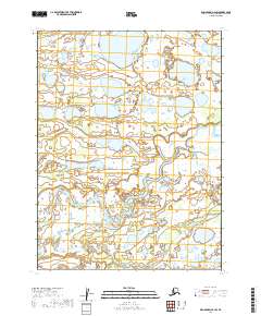
2019 · Dillingham A-2 SW
USGS Topo · 1:25,000
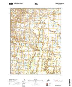
2019 · Dillingham B-2 SW
USGS Topo · 1:25,000