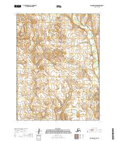
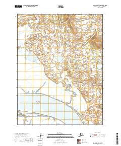
2019 Map of Dillingham A-6 NW
USGS Topo · Published 2019About this map
The Little Muklung River meanders through the western reaches of this Bristol Bay region landscape, while the Iowithla River carves its path across the northeastern corner. This 2019 survey documents a vast, undeveloped wetland and tundra environment southeast of Dillingham, characterized by countless small ponds and complex drainage patterns. The absence of roads or named settlements underscores the isolated nature of the terrain, where hydrological features like the rivers and the surrounding marshlands dictate the geography. The map provides a high-resolution view of the intricate water systems and topographical contours that define this portion of the Alaska Peninsula, serving as a primary record of the natural waterways and land divisions under the Public Land Survey System.
Find a feature on this map
6 named features on this map. Tap any name to fly to it.
Don’t see what you’re looking for? This feature index may not catch every label — zoom into the map to look around manually.
Map Details
Editions of this 2019 Dillingham A-6 NW Map
This is the sole edition of this map. No revisions or reprints were ever made.
Other maps of this area

1951 · Dillingham
USGS Topo · 1:250,000

1952 · Dillingham A-6
USGS Topo · 1:63,360

1952 · Dillingham A-7
USGS Topo · 1:63,360

1954 · Dillingham
USGS Topo · 1:250,000

1954 · Dillingham B-7
USGS Topo · 1:63,360

1954 · Dillingham B-6
USGS Topo · 1:63,360
2019 · Dillingham B-6 SW
USGS Topo · 1:25,000
2019 · Dillingham A-7 NE
USGS Topo · 1:25,000
2019 · Dillingham A-7 SE
USGS Topo · 1:25,000
2019 · Dillingham A-6 SW
USGS Topo · 1:25,000