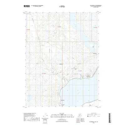
2019 Map of Dillingham A-7 SW
USGS Topo · Published 2019About this map
Dillingham sits at the convergence of vital Alaskan waterways, where the Wood River meets the expansive Nushagak River. This coastal landscape is defined by its transition from the tundra into the Bristol Bay drainage, with Bradford Point marking the prominent southern shoreline near Nelsonville. The map illustrates the specialized infrastructure of a regional hub, from the Dillingham Airport to the Univ of Alaska Fairbanks Bristol Bay Campus on Main St.
Find a feature on this map
34 named features on this map. Tap any name to fly to it.
Don’t see what you’re looking for? This feature index may not catch every label — zoom into the map to look around manually.
Map Details
Editions of this 2019 Dillingham A-7 SW Map
This is the sole edition of this map. No revisions or reprints were ever made.
Other maps of this area

1945 · Nushagak Bay
USGS Topo · 1:250,000

1949 · Nushagak Bay
USGS Topo · 1:250,000

1951 · Dillingham
USGS Topo · 1:250,000

1951 · Nushagak Bay
USGS Topo · 1:250,000

1952 · Dillingham A-8
USGS Topo · 1:63,360

1952 · Dillingham A-7
USGS Topo · 1:63,360
1952 · Nushagak Bay D-2
USGS Topo · 1:63,360

1954 · Dillingham
USGS Topo · 1:250,000

1964 · Nushagak Bay
USGS Topo · 1:250,000
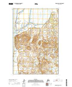
2019 · Nushagak Bay D-2 NE
USGS Topo · 1:25,000