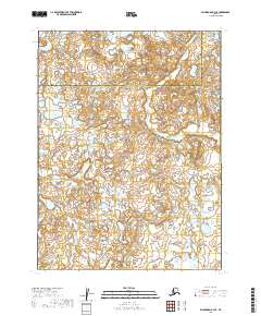
2019 Map of Dillingham B-3 SE
USGS Topo · Published 2019About this map
Lake and Peninsula Borough and the Dillingham Census Area meet in this remote expanse of Southwest Alaska, where the landscape is defined by an intricate network of wetlands and small water bodies. The terrain is dominated by the meandering path of Yellow Cr, which winds southward through several townships, and the headwaters of Lower Klutuk Creek in the northwest corner. This 2019 survey documents a region largely untouched by road infrastructure or permanent settlements, instead showcasing the complex hydrography of the Bristol Bay watershed. The township and range lines of the Public Land Survey System provide the only human-imposed grid over a wilderness of kettle ponds and marshy lowlands, offering a precise record of the borough boundary as it stood in the early twenty-first century.
Find a feature on this map
9 named features on this map. Tap any name to fly to it.
Don’t see what you’re looking for? This feature index may not catch every label — zoom into the map to look around manually.
Map Details
Editions of this 2019 Dillingham B-3 SE Map
This is the sole edition of this map. No revisions or reprints were ever made.
Other maps of this area

1951 · Dillingham
USGS Topo · 1:250,000

1952 · Dillingham A-2
USGS Topo · 1:63,360

1952 · Dillingham A-3
USGS Topo · 1:63,360

1954 · Dillingham
USGS Topo · 1:250,000
1954 · Dillingham B-2
USGS Topo · 1:63,360

1954 · Dillingham B-3
USGS Topo · 1:63,360
2019 · Dillingham A-2 NW
USGS Topo · 1:25,000
2019 · Dillingham B-3 NW
USGS Topo · 1:25,000
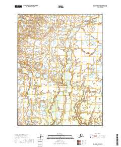
2019 · Dillingham B-2 SW
USGS Topo · 1:25,000
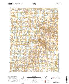
2019 · Dillingham B-2 NW
USGS Topo · 1:25,000